Nalewki Street, Warsaw
Map
Gallery
Facts and practical information
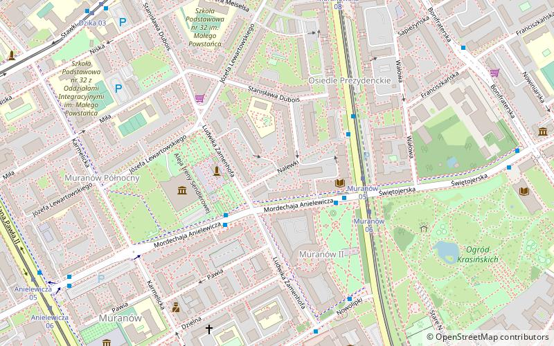
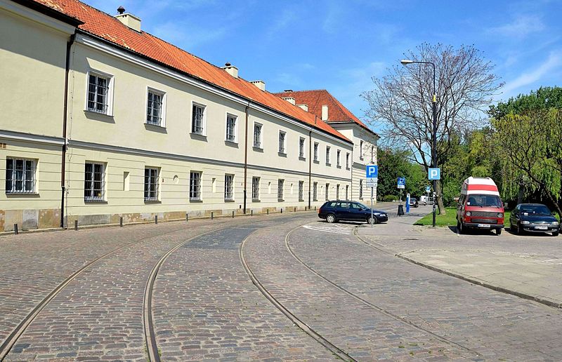
Nalewki is a former name of the Bohaterów Getta street in Warsaw, Poland, as well as a name applied to the entire borough around it. The street runs from the Długa Street in the New Town towards what was the northern outskirts of the city in the 19th century, and the neighbourhood of Muranów. Until World War II inhabited primarily by Jews, after the war it was rebuilt only partially, part of its former course taken up by a park established after the war.. ()
Address
Śródmieścia (Muranów)Warsaw
ContactAdd
Social media
Add
Day trips
Nalewki Street – popular in the area (distance from the attraction)
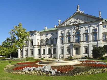
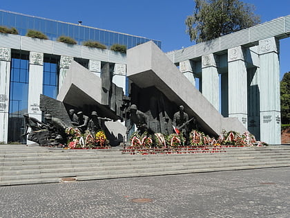
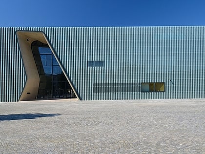
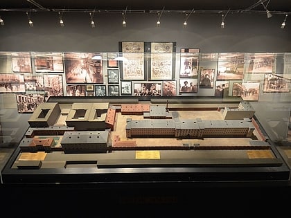
Nearby attractions include: Krasiński Palace, Warsaw Uprising Monument, POLIN Museum of the History of Polish Jews, Pawiak.
Frequently Asked Questions (FAQ)
Which popular attractions are close to Nalewki Street?
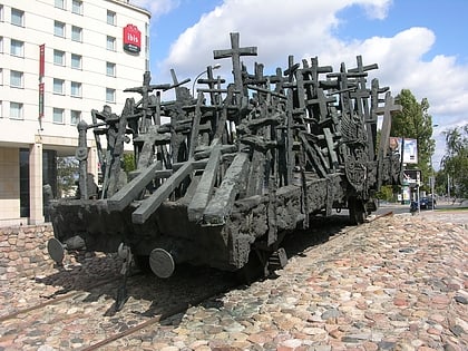
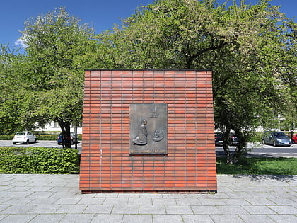
Nearby attractions include Memorial Route of Jewish Martyrdom and Struggle, Warsaw (2 min walk), Pomnik Bohaterów Getta, Warsaw (3 min walk), Żegota Monument, Warsaw (3 min walk), POLIN Museum of the History of Polish Jews, Warsaw (4 min walk).
How to get to Nalewki Street by public transport?
The nearest stations to Nalewki Street:
Bus
Tram
Metro
Train
Bus
- Muranów 03 • Lines: 111, 180, N41 (3 min walk)
- Muranów 04 • Lines: 180 (3 min walk)
Tram
- Muranów 05 • Lines: 15, 18, 35 (3 min walk)
- Muranowska 11 • Lines: 35 (7 min walk)
Metro
- Ratusz Arsenał • Lines: M1 (10 min walk)
- Dworzec Gdański • Lines: M1 (15 min walk)
Train
- Warszawa Gdańska (17 min walk)
- Warszawa Powązki (28 min walk)

