Warsaw New Town, Warsaw
Map
Gallery
Facts and practical information
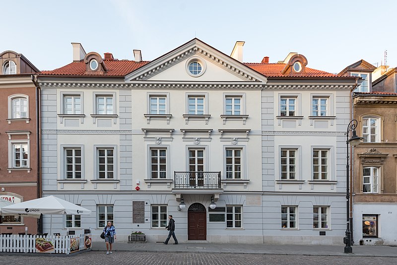
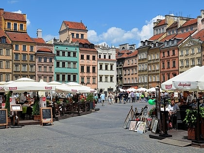
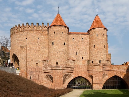
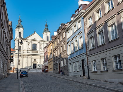
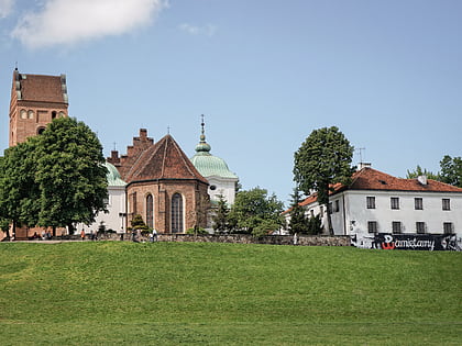
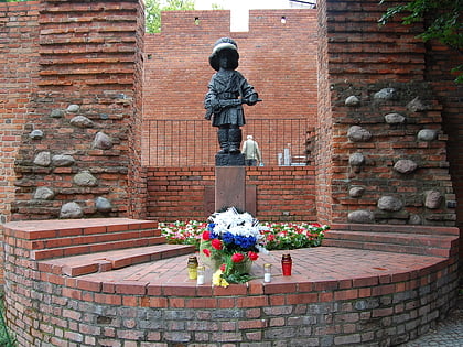
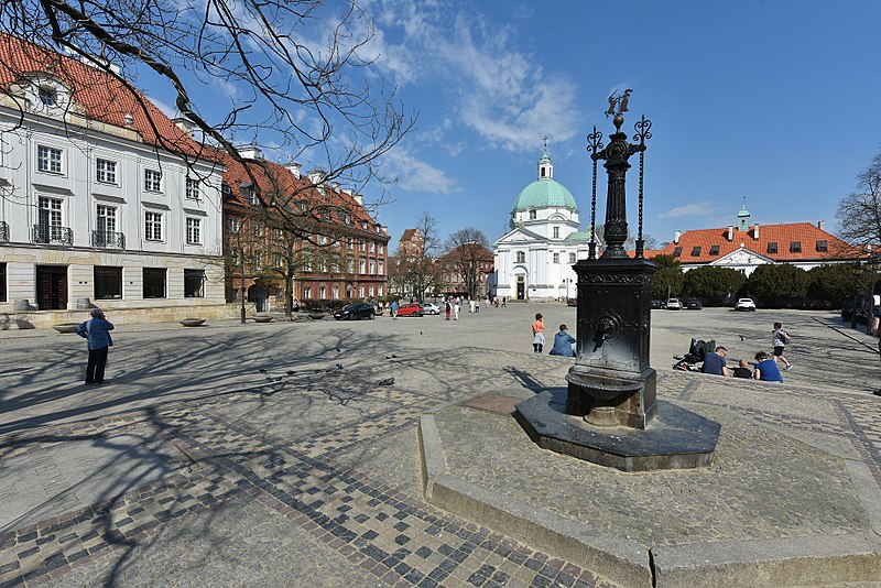
The Warsaw New Town is a neighborhood dating from the 15th century in Warsaw, Poland. It lies just north of the Old Town and is connected to it by ulica Freta, which begins at the Warsaw Barbican. Like the Old Town, the New Town was almost completely destroyed by the Germans during World War II and rebuilt after the war. ()
Address
Śródmieścia (Nowe Miasto)Warsaw
ContactAdd
Social media
Add
Day trips
Warsaw New Town – popular in the area (distance from the attraction)
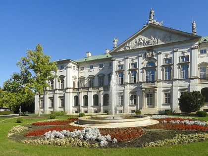
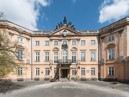
Nearby attractions include: Krasiński Palace, Old Town, Warsaw Barbican, Jesuit Church.
Frequently Asked Questions (FAQ)
Which popular attractions are close to Warsaw New Town?
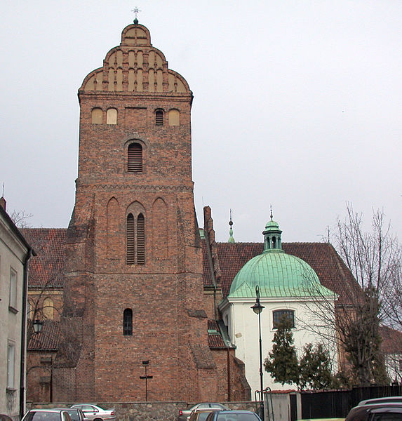
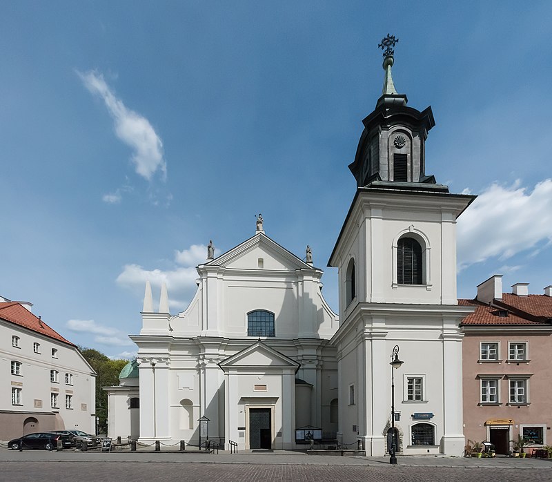
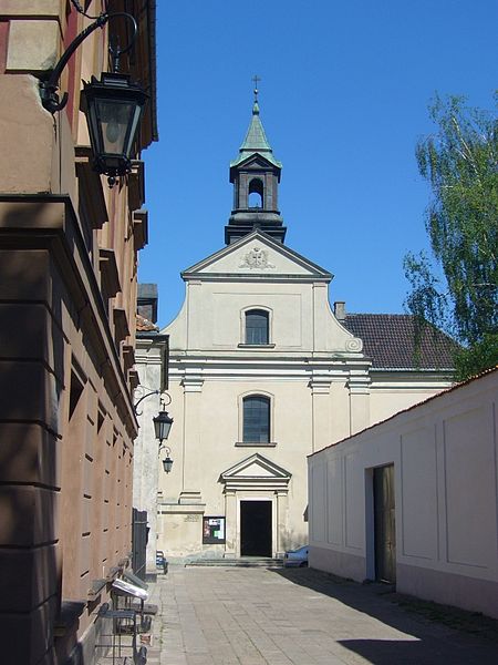
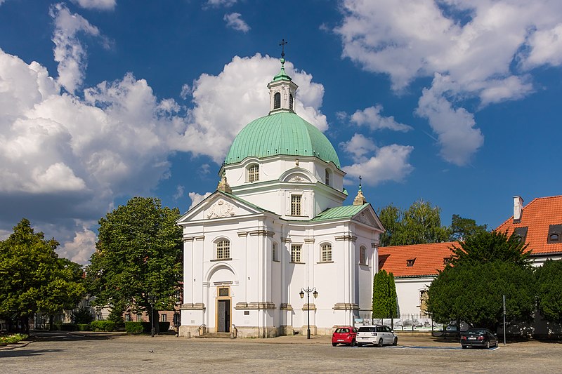
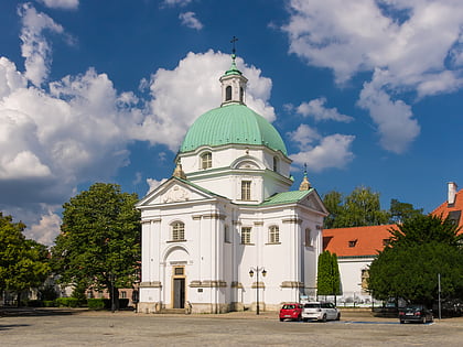
Nearby attractions include St. Kazimierz Church, Warsaw (1 min walk), New Town Market Place, Warsaw (1 min walk), Church of St Francis in Warsaw, Warsaw (3 min walk), Church of the Visitation of the Blessed Virgin Mary, Warsaw (3 min walk).
How to get to Warsaw New Town by public transport?
The nearest stations to Warsaw New Town:
Bus
Tram
Metro
Train
Bus
- Sanguszki 01 • Lines: 118, 185 (5 min walk)
- Boleść 02 • Lines: 118, 185 (7 min walk)
Tram
- Muranowska 08 • Lines: 15, 18, 35 (12 min walk)
- KS Polonia 01 • Lines: 18, 6 (12 min walk)
Metro
- Ratusz Arsenał • Lines: M1 (16 min walk)
- Dworzec Wileński • Lines: M2 (30 min walk)
Train
- Warszawa Gdańska (21 min walk)
- Warszawa Zoo (22 min walk)


