Kiedrzyn, Częstochowa
Map
Map

Facts and practical information
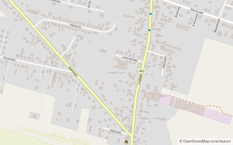
Kiedrzyn is a dzielnica of Częstochowa, Silesian Voivodeship, southern Poland. It is located in the north-west part of the city, between roads to Łask and Działoszyn. Kiedrzyn has an area of 7.77 km2 and on April 30, 2014 had 2,940 inhabitants. ()
Address
Częstochowa
ContactAdd
Social media
Add
Day trips
Kiedrzyn – popular in the area (distance from the attraction)
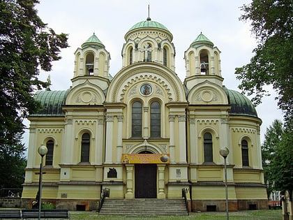
Nearby attractions include: Jasna Góra Monastery, Częstochowa Cathedral, Orthodox Church of the Icon of Our Lady of Częstochowa, Galeria Jurajska.
Frequently Asked Questions (FAQ)
How to get to Kiedrzyn by public transport?
The nearest stations to Kiedrzyn:
Bus
Tram
Bus
- Ludowa • Lines: 13 (9 min walk)
- Kutrzeby • Lines: 22, 24, 29 (20 min walk)
Tram
- Iwaszkiewicza • Lines: 2, 3 (28 min walk)
- Baczyńskiego • Lines: 1, 2, 3 (29 min walk)


