Peace Bridge, Wrocław
Map
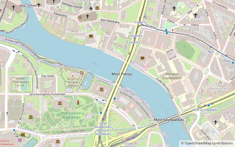
Map

Facts and practical information
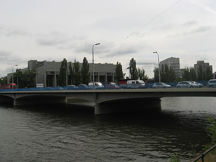
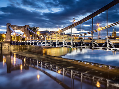
Peace Bridge is located in Wrocław, Poland and was built from 1954 to 1959. It spans over 124 metres and was designed by professor Jan Kmita. At first it was known as Wojewódzki Bridge, but was renamed the "Peace Bridge" in 1966. Before World War II, there was another bridge in the same place, named after the German philosopher and poet Gotthold Ephraim Lessing. It was made of iron, built in 1875, and lasted until 1945, when it was bombarded during the Siege of Breslau. ()
Local name: Most Pokoju Opened: 1959 (67 years ago)Length: 411 ftWidth: 84 ftCoordinates: 51°6'42"N, 17°2'56"E
Address
Stare MiastoWrocław
ContactAdd
Social media
Add
Day trips
Peace Bridge – popular in the area (distance from the attraction)
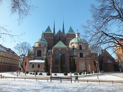
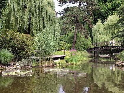
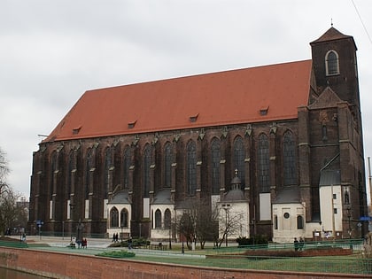
Nearby attractions include: Wrocław Cathedral, University of Wrocław Botanical Garden, National Museum, Church of St Mary on the Sand.
Frequently Asked Questions (FAQ)
Which popular attractions are close to Peace Bridge?
Nearby attractions include National Museum, Wrocław (3 min walk), Wzgórze Polskie, Wrocław (4 min walk), Wrocław Cathedral, Wrocław (6 min walk), Park Słowackiego, Wrocław (6 min walk).
How to get to Peace Bridge by public transport?
The nearest stations to Peace Bridge:
Tram
Bus
Train
Tram
- Urząd Wojewódzki • Lines: 0L, 0P, 10, 16, 2, 33, 4 (6 min walk)
- Katedra • Lines: 10, 2 (5 min walk)
Bus
- Urząd Wojewódzki • Lines: 145, 146, 149, 240, 241, 246, 250, 253, 255, A, D, N (4 min walk)
- Katedra • Lines: 111, 246, 253, 255, A, C, N (5 min walk)
Train
- Wrocław Główny (27 min walk)
- Wrocław Nadodrze (31 min walk)
