Jagiellońska Street, Kraków
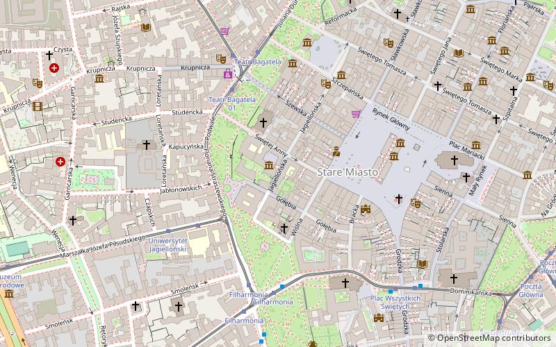
Map
Gallery
Facts and practical information
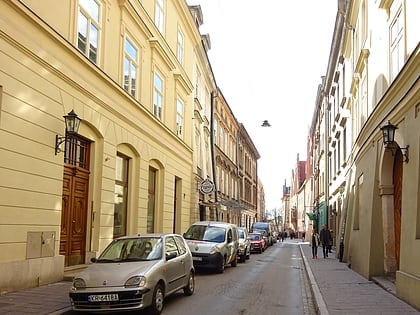
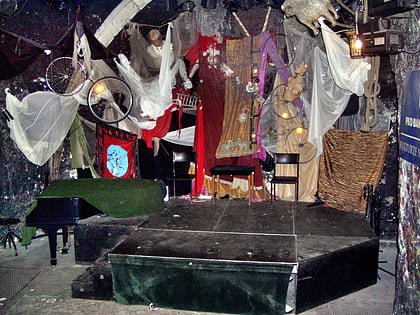
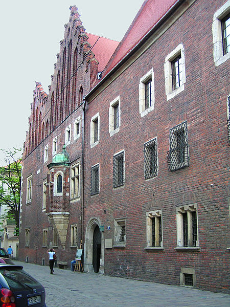
Jagiellońska Street - a historic street in Kraków, Poland. The street intersects the former Jagiellonian University quarter. The street features the Collegium Maius of the Jagiellonian University and the Old Theatre. Jagiellońska Street is situated to the east of Planty Park. ()
Address
Stare MiastoKraków
ContactAdd
Social media
Add
Day trips
Jagiellońska Street – popular in the area (distance from the attraction)
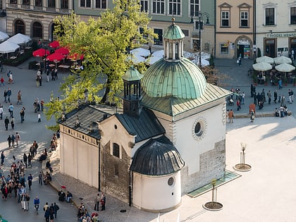
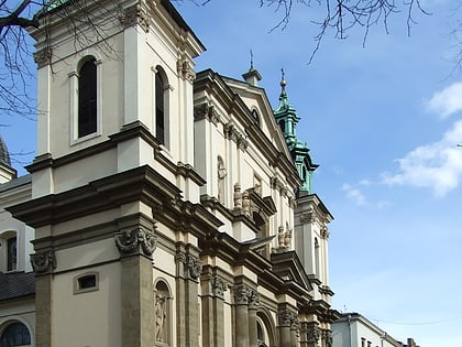
Nearby attractions include: Sukiennice Museum, Church of St. Adalbert, Bishop's Palace, Cloth Hall.
Frequently Asked Questions (FAQ)
Which popular attractions are close to Jagiellońska Street?
Nearby attractions include Collegium Maius, Kraków (1 min walk), Ogród Profesorski, Kraków (1 min walk), Uniwersytet Jagielloński, Kraków (1 min walk), Jagiellonian University Medical College, Kraków (1 min walk).
How to get to Jagiellońska Street by public transport?
The nearest stations to Jagiellońska Street:
Tram
Bus
Train
Tram
- Teatr Bagatela • Lines: 13, 14, 18, 2, 20, 24, 4, 64, 69, 8 (4 min walk)
- Uniwersytet Jagielloński • Lines: 20, 6 (4 min walk)
Bus
- Muzeum Narodowe • Lines: 124, 424, 502, 601, 611 (10 min walk)
- Poczta Główna • Lines: 610 (11 min walk)
Train
- Krakow Main Station (21 min walk)
- Kraków Zabłocie (36 min walk)
