Medical University of Białystok, Białystok
Facts and practical information
The Medical University of Białystok is a prestigious institution located in the heart of Białystok, Poland, dedicated to advancing medical education and research. Founded in 1950, it has since become a leading center for medical study in the region, attracting students and scholars from around the world.
This academic institution specializes in a wide range of medical disciplines, offering courses in medicine, pharmacy, health sciences, and dentistry. With a strong emphasis on clinical practice and research, the Medical University of Białystok provides state-of-the-art facilities and equipment to ensure that students and faculty can pursue the highest standards of healthcare education.
The university's main campus is equipped with modern lecture halls, laboratories, and a comprehensive medical library, supporting an environment conducive to learning and innovation. The university also operates the University Clinical Hospital, which serves as a primary teaching hospital for students to gain hands-on experience in patient care under the guidance of experienced medical professionals.
With a commitment to excellence, the Medical University of Białystok actively participates in international research projects and collaborations, contributing to the global advancement of medical science. The institution prides itself on its vibrant academic community, fostering an inclusive atmosphere where knowledge and diversity are celebrated.
Students at the Medical University of Białystok benefit from high-quality education programs that are both rigorous and comprehensive, preparing them for successful careers in the medical field. The university's alumni have gone on to make significant contributions to medicine, both in Poland and internationally.
- Bus
- Train
 Bus
Bus
- Calculate routeMickiewicza/Uniwersytet Medyczny 3 min walk
- Calculate routePlac Jana Pawła II/Katedra 4 min walk
- Calculate routeJana Klemensa Branickiego/Teatr 4 min walk
- Calculate routeJana Klemensa Branickiego/Urząd Miejski 5 min walk
- Calculate routeBiałystok Fabryczny 27 min walk


Frequently Asked Questions (FAQ)
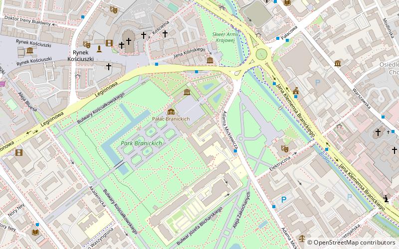
Which popular attractions are close to Medical University of Białystok?
How to get to Medical University of Białystok by public transport?
Bus
- Mickiewicza/Uniwersytet Medyczny • Lines: 30 (3 min walk)
- Plac Jana Pawła II/Katedra • Lines: 30 (4 min walk)
Train
- Białystok Fabryczny (27 min walk)