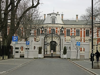
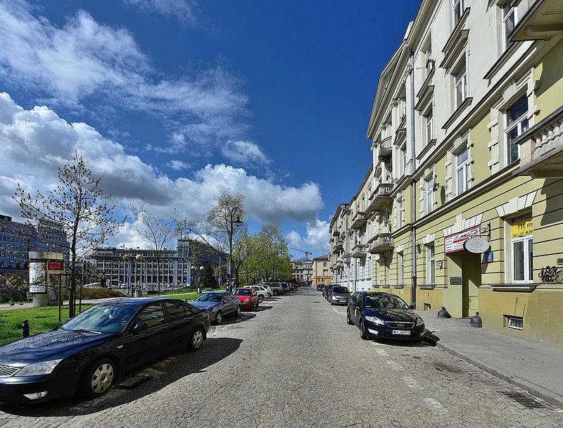
Smolna Street, Warsaw
Map
Gallery
Facts and practical information
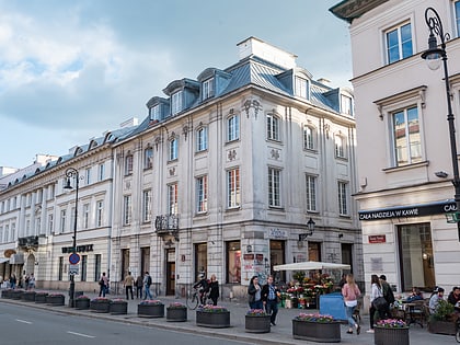
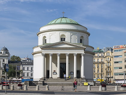
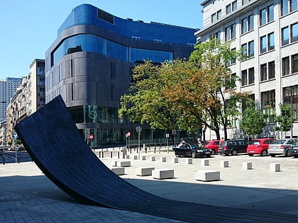
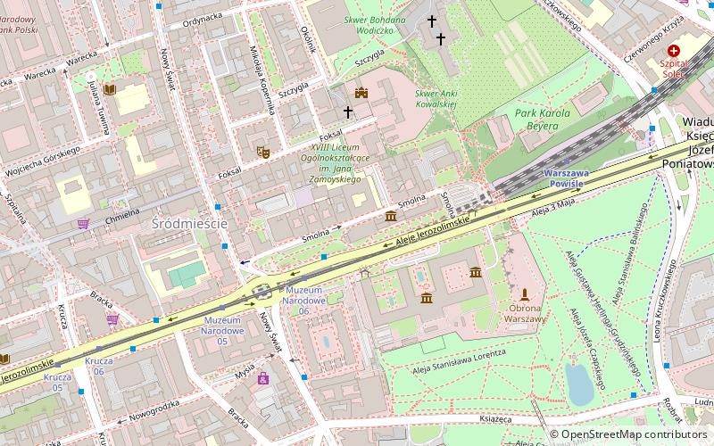
Smolna is one of the streets of Warsaw's city centre. It is entirely contained in the Śródmieście district, and runs for approximately 400m, orthogonal to the Vistula river. It is a one-way street, running eastwards from Charles de Gaulle roundabout to Jerusalem Avenue, approximately 1 km west of the river. ()
Address
Śródmieścia (Śródmieście Północne)Warsaw
ContactAdd
Social media
Add
Day trips
Smolna Street – popular in the area (distance from the attraction)
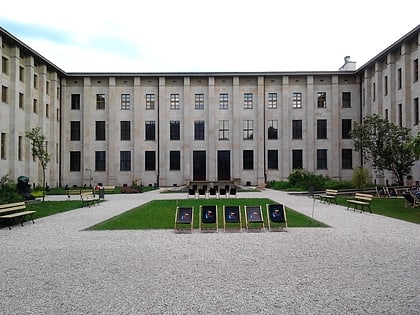
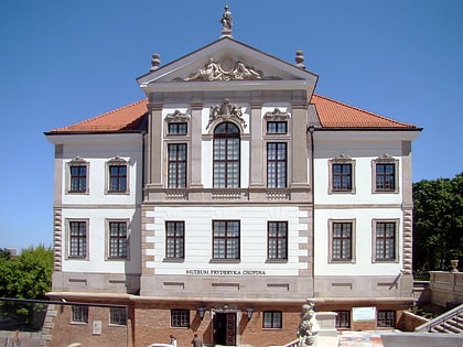
Nearby attractions include: Nowy Świat Street, National Museum, Polish Army Museum, Frederic Chopin Museum.
Frequently Asked Questions (FAQ)
Which popular attractions are close to Smolna Street?
Nearby attractions include Villa Foksal, Warsaw (3 min walk), National Museum, Warsaw (3 min walk), Faras Gallery at the National Museum in Warsaw, Warsaw (3 min walk), Palm, Warsaw (3 min walk).
How to get to Smolna Street by public transport?
The nearest stations to Smolna Street:
Bus
Tram
Train
Metro
Bus
- Muzeum Narodowe 02 • Lines: 111, 117, 158, 507, 521, N22, N24, N72 (2 min walk)
- PKP Powiśle 02 • Lines: 111, 117, 158, N22, N24, N72 (3 min walk)
Tram
- Muzeum Narodowe 06 • Lines: 22, 24, 25, 7, 9 (2 min walk)
- Krucza 05 • Lines: 22, 24, 25, 7, 9 (9 min walk)
Train
- Warszawa Powiśle (6 min walk)
- Warsaw City Center (18 min walk)
Metro
- Nowy Świat-Uniwersytet • Lines: M2 (10 min walk)
- Centrum • Lines: M1 (15 min walk)

