Family Golf Park, Vilamoura
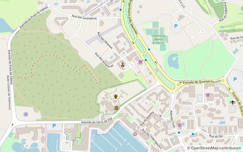
Map

Map

Facts and practical information
Family Golf Park (address: Street of Marmeleiros) is a place located in Vilamoura (Faro district) and belongs to the category of outdoor activities, park, relax in park.
It is situated at an altitude of 23 feet, and its geographical coordinates are 37°4'54"N latitude and 8°7'11"W longitude.
Among other places and attractions worth visiting in the area are: Roman ruins of Cerro da Vila (ruins, 4 min walk), Dom Pedro Old Course (golf, 32 min walk), Praia da Rocha Baixinha (beach, 33 min walk).
Elevation: 23 ft a.s.l.Coordinates: 37°4'54"N, 8°7'11"W
Day trips
Family Golf Park – popular in the area (distance from the attraction)
Nearby attractions include: Roman ruins of Cerro da Vila, Praia De Quarteira, Praia da Rocha Baixinha, Dom Pedro Old Course.


