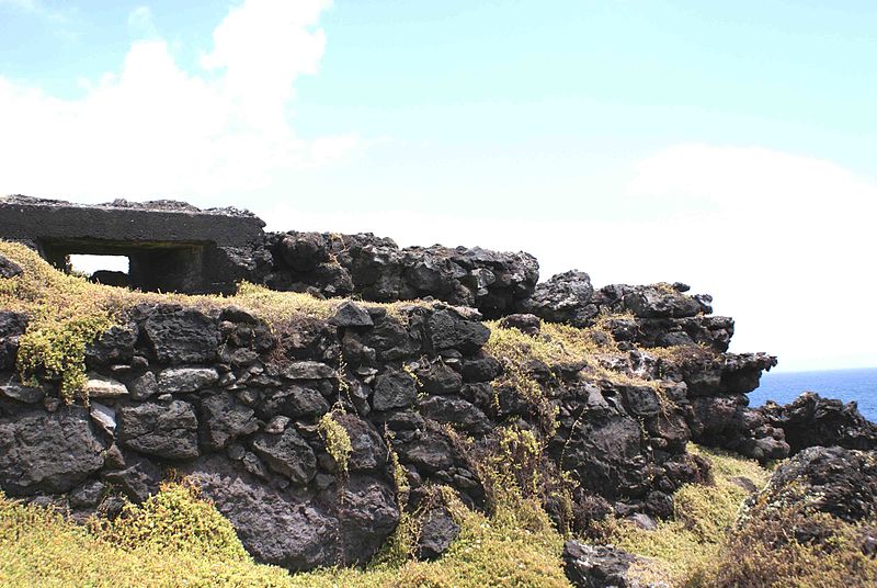
Fort of Má Ferramenta, Angra do Heroísmo

Gallery (2)
Map
Map
Gallery
Facts and practical information
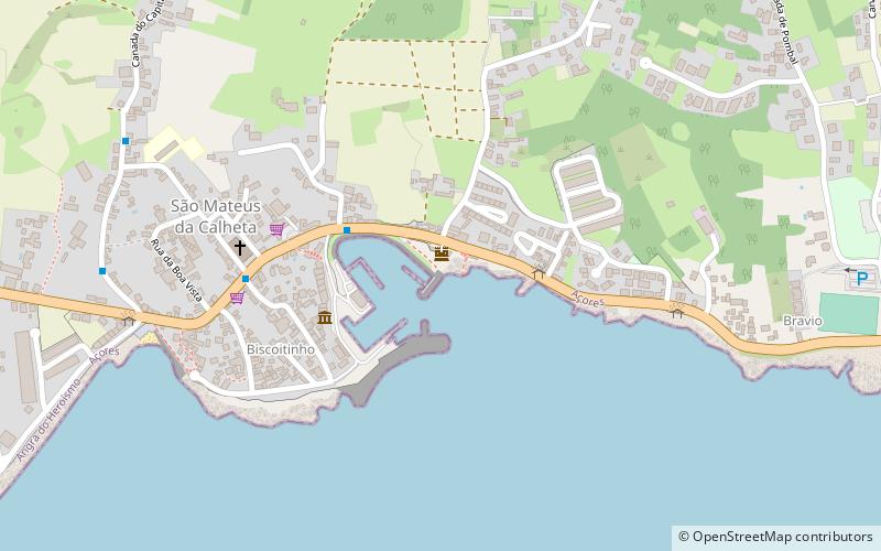
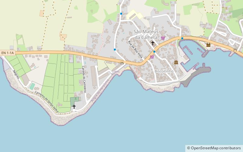
The Fort of Má Ferramenta, near the port of the civil parish of São Mateus da Calheta, municipality of Angra do Heroísmo, along the southern coast of the Portuguese island of Terceira, in the archipelago of the Azores. Located in a dominant position over this coastal stretch of coast that sheltered anchored ships, it was a fortification used as a defence against attacks from pirates and corsairs, that frequented the waters of the mid-Atlantic. ()
Address
Angra do Heroísmo
ContactAdd
Social media
Add
Day trips


Frequently Asked Questions (FAQ)
Which popular attractions are close to Fort of Má Ferramenta?
Nearby attractions include Fortress of São Mateus da Calheta, Angra do Heroísmo (1 min walk), Church of São Mateus da Calheta, Angra do Heroísmo (4 min walk), Fort of São João, Angra do Heroísmo (6 min walk), Fort of the Church of São Mateus da Calheta, Angra do Heroísmo (9 min walk).