Régua-Rio Douro, Peso da Régua
Map
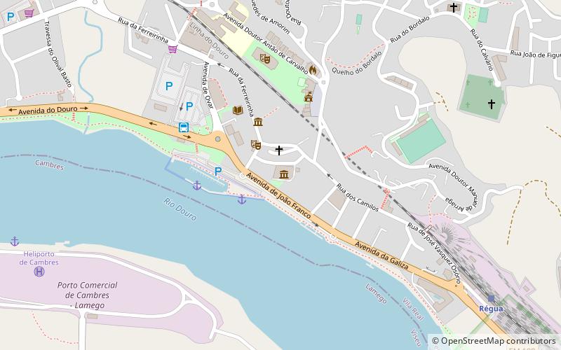
Map

Facts and practical information
Régua-Rio Douro (address: Av. João Franco) is a place located in Peso da Régua (Vila Real district) and belongs to the category of wine, lunch, dinner.
It is situated at an altitude of 223 feet, and its geographical coordinates are 41°9'41"N latitude and 7°47'24"W longitude.
Among other places and attractions worth visiting in the area are: Castro of Cidadelhe (forts and castles, 78 min walk), Chapel of São Pedro de Balsemão (church, 97 min walk), Douro DOC, Lamego (unesco, 106 min walk).
Coordinates: 41°9'41"N, 7°47'24"W
Day trips
Régua-Rio Douro – popular in the area (distance from the attraction)
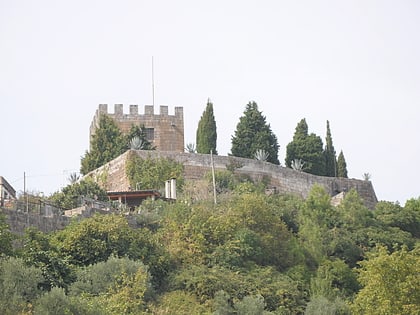
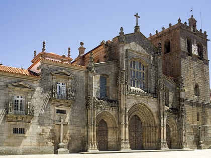
Nearby attractions include: Castle of Lamego, Our Lady of the Assumption Cathedral, Chapel of São Pedro de Balsemão, Igreja de São Martinho de Mouros.

