Região de Aveiro, Aveiro
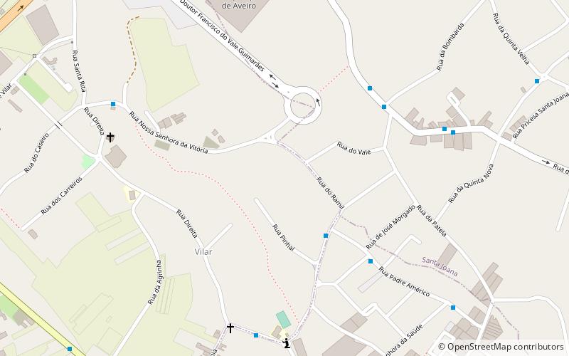
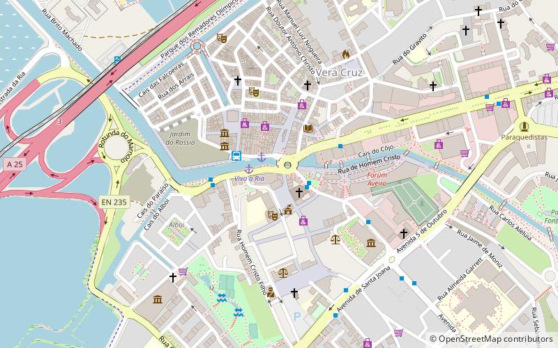
Map
Facts and practical information
The Comunidade Intermunicipal da Região de Aveiro is an administrative division in Portugal. It was created in October 2008, replacing the previously existing Greater Metropolitan Area of Aveiro. Since January 2015, Região de Aveiro is also a NUTS3 subregion of Centro Region, that covers the same area as the intermunicipal community. The main city and seat of the intermunicipal community is Aveiro. The population in 2011 was 370,394, in an area of 1,692.86 square kilometres. ()
Day trips
Região de Aveiro – popular in the area (distance from the attraction)
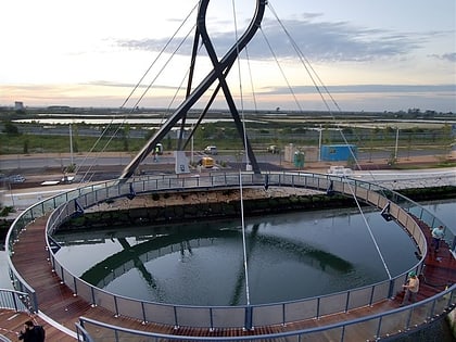
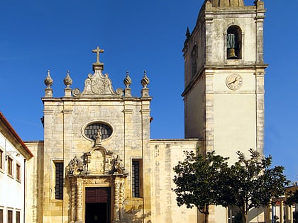
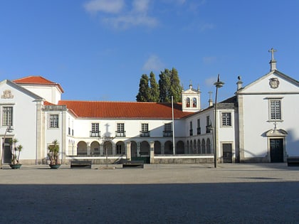
Nearby attractions include: Circular Pedestrian Bridge, Cathedral of Aveiro, Church of São João Evangelista, University of Aveiro.
Frequently Asked Questions (FAQ)
How to get to Região de Aveiro by public transport?
The nearest stations to Região de Aveiro:
Bus
Train
Bus
- Patela • Lines: L6 (5 min walk)
- R. D. João Evangelista Lima Vidal • Lines: L6 (7 min walk)
Train
- Esgueira (26 min walk)
- Aveiro (28 min walk)
