Santarém District, Santarém
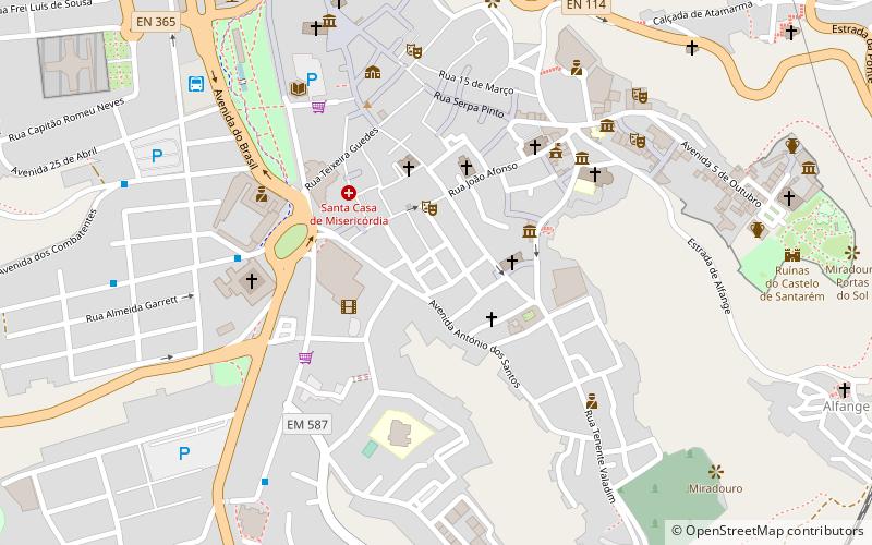
Map
Facts and practical information
The District of Santarém is a district of Portugal, located in Portugal's Centro Region. The district capital is the city of Santarém. ()
Address
Santarém
ContactAdd
Social media
Add
Getting there by public transportation
Public transportation stops near this location
- Bus
- Train
 Bus
Bus
- Calculate routeEstação Rodoviária 8 min walk
- Calculate routeTerminal Rodoviário de Santarém 9 min walk
- Calculate routeRua São Bento 17 min walk
- Calculate routeBairro São Vicente 20 min walk
- Calculate routeSantarém 19 min walk
Day trips
Santarém District – popular in the area (distance from the attraction)
Nearby attractions include: Castle of Santarém, Our Lady of the Assumption Cathedral, Igreja de São Nicolau, Igreja de Santa Clara.


Frequently Asked Questions (FAQ)
Which popular attractions are close to Santarém District?
Nearby attractions include Igreja do Santíssimo Milagre, Santarém (3 min walk), Igreja de São João de Alporão, Santarém (3 min walk), Igreja da Misericórdia de Santarém, Santarém (4 min walk), Igreja de Santa Maria de Marvila, Santarém (5 min walk).
How to get to Santarém District by public transport?
The nearest stations to Santarém District:
Bus
Train
Bus
- Estação Rodoviária (8 min walk)
- Terminal Rodoviário de Santarém (9 min walk)
Train
- Santarém (19 min walk)