Cha Gorreana, São Miguel Island
Map
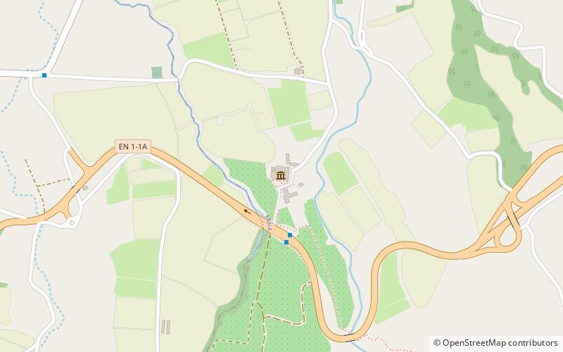
Map

Facts and practical information
Cha Gorreana (address: Plantações de Chá Gorreana) is a place located in São Miguel Island (Azores autonomous region) and belongs to the category of tea room, museum.
It is situated at an altitude of 686 feet, and its geographical coordinates are 37°49'6"N latitude and 25°24'9"W longitude.
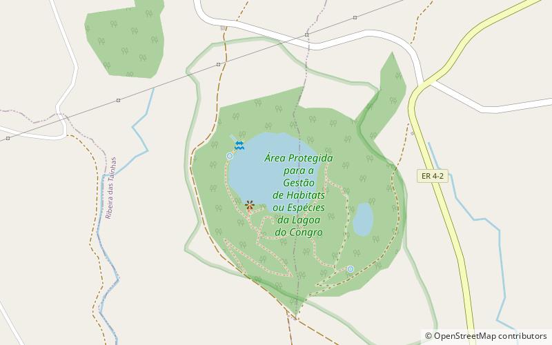
Among other places and attractions worth visiting in the area are: Museu do Tabaco da Maia (specialty museum, 27 min walk), Lagoa do Congro, Vila Franca do Campo (nature, 109 min walk), Água de Pau Massif (nature, 140 min walk).
Coordinates: 37°49'6"N, 25°24'9"W
Day trips
Cha Gorreana – popular in the area (distance from the attraction)
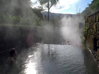
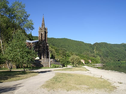
Nearby attractions include: Furnas, Poça da Dona Beija, Chapel of Nossa Senhora das Vitórias, Lagoa do Congro.

