Savage Islands
Map

Map

Facts and practical information
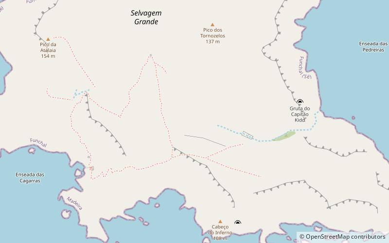
The Savage Islands or Selvagens Islands are a small Portuguese archipelago in the North Atlantic Ocean, 280 kilometres south of Madeira, and 165 kilometres north of the Canary Islands. The archipelago includes two major islands, Selvagem Grande and Selvagem Pequena, each surrounded by a cluster of islets and reefs, with the total area of 2.73 km2. The archipelago is administered as part of the Portuguese municipality of Funchal, belongs to the Madeiran civil parish of Sé, and is the southernmost point of Portugal. ()
Local name: Ilhas Selvagens Area: 1.05 mi²Maximum elevation: 535 ftCoordinates: 30°8'32"N, 15°51'53"W
Location
Madeira
ContactAdd
Social media
Add
Day trips
Savage Islands – popular in the area (distance from the attraction)
Nearby attractions include: Pico da Atalaia, Savage Islands Nature Reserve.


