Rua de Cedofeita, Porto
Map
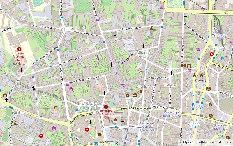
Map

Facts and practical information
Rua de Cedofeita is a street in the parishes of Vitória and Cedofeita in the city of Porto, Portugal.
Coordinates: 41°9'1"N, 8°37'1"W
Day trips
Rua de Cedofeita – popular in the area (distance from the attraction)
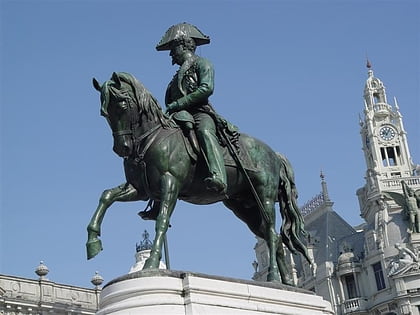
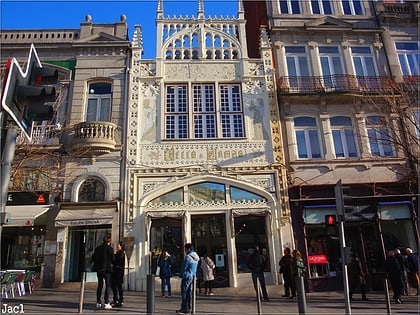
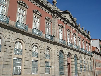
Nearby attractions include: Monument to Pedro IV, Livraria Lello, Museu Nacional Soares dos Reis, Torre dos Clérigos.
Frequently Asked Questions (FAQ)
Which popular attractions are close to Rua de Cedofeita?
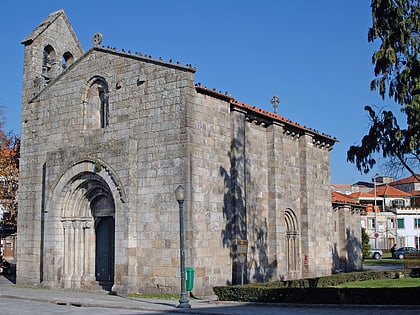
Nearby attractions include Palacete of the Visconts of Balsemão, Porto (4 min walk), Devesas Factory Warehouse, Porto (4 min walk), Igreja dos Carmelitas, Porto (5 min walk), Igreja do Carmo, Porto (5 min walk).
How to get to Rua de Cedofeita by public transport?
The nearest stations to Rua de Cedofeita:
Bus
Tram
Light rail
Train
Bus
- Torrinha • Lines: 301 (4 min walk)
- Carmo • Lines: 13M, 200, 201, 207, 208, 300, 302, 305, 501, 507, 601, 602, 703 (5 min walk)
Tram
- Guilherme Gomes Fernandes • Lines: 22 (6 min walk)
- Carmo • Lines: 18, 22 (7 min walk)
Light rail
- Aliados • Lines: D (9 min walk)
- Trindade • Lines: A, B, C, D, E, F (11 min walk)
Train
- Porto - São Bento (13 min walk)
- Antigo Terminal Ferroviário da Alfândega (16 min walk)

