Ilhéu de Ferro

Gallery (1)
Map
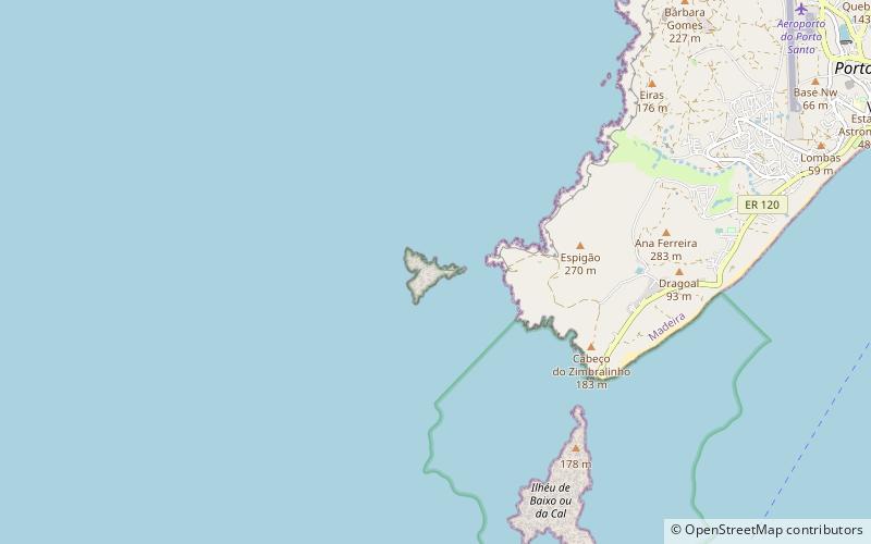
Map
Facts and practical information
Ilhéu de Ferro is a place located in Portugal and belongs to the category of lighthouse.
It is situated at an altitude of 187 feet, and its geographical coordinates are 33°2'20"N latitude and 16°24'21"W longitude.
Among other places and attractions worth visiting in the area are: Porto Santo GolfePorto Santo (golf, 60 min walk), Quinta Das Palmeiras Mini-Zoo BotânicoPorto Santo (garden, 78 min walk), Cal Islet (island, 79 min walk).
Coordinates: 33°2'20"N, 16°24'21"W
Location
Madeira
ContactAdd
Social media
Add
Day trips