Médio Tejo, Tomar
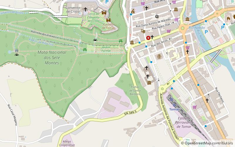
Map
Facts and practical information
The Comunidade Intermunicipal do Médio Tejo is an administrative division in Portugal. It was created in December 2008, replacing the former Comunidade Urbana do Médio Tejo created in 2004. It takes its name from the river Tagus. Médio Tejo is also a NUTS 3 subregion of Centro Region: since January 2015, the NUTS 3 subregion has covered the same area as the intermunicipal community. The seat of the intermunicipal community is Tomar. Médio Tejo comprises parts of the former districts of Santarém and Castelo Branco. ()
Day trips
Médio Tejo – popular in the area (distance from the attraction)
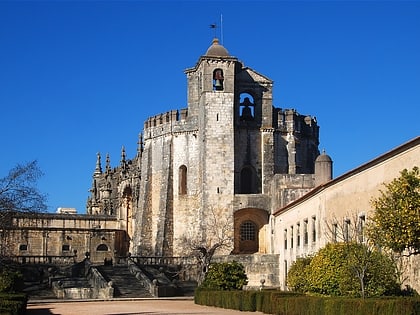
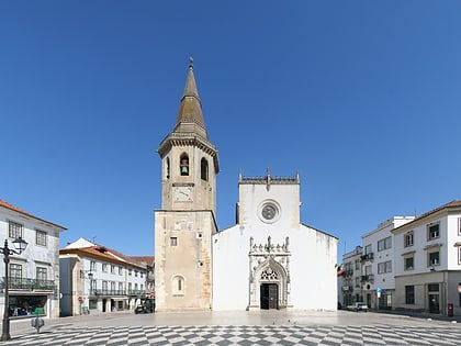
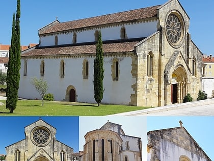
Nearby attractions include: Convent of Christ, Castelo de Tomar, Igreja de São João Baptista, Church of Santa Maria do Olival.
Frequently Asked Questions (FAQ)
Which popular attractions are close to Médio Tejo?
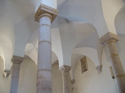
Nearby attractions include Castelo de Tomar, Tomar (7 min walk), Synagogue of Tomar, Tomar (7 min walk), Igreja de São João Baptista, Tomar (8 min walk), Convent of Christ, Tomar (8 min walk).
