Parque Urbano do Vale Fundão, Lisbon
Map
Map

Facts and practical information
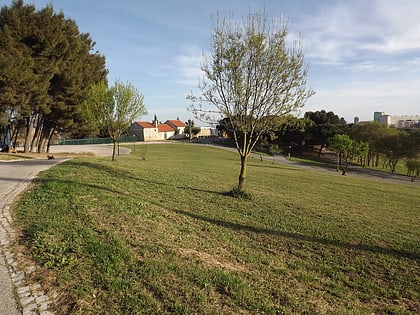
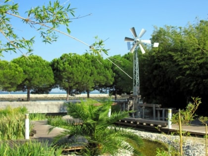
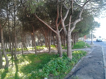
The Vale Fundão Park is a garden in Lisbon, and is considered a tourist spot in the city.
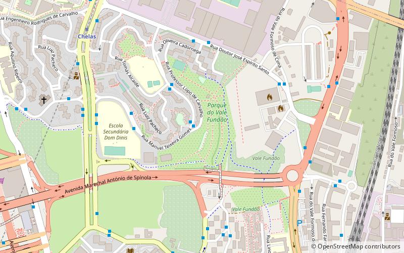
The park has about 9 hectares and is located in the eastern part of the city of Lisbon, between zone I and zone J of Chelas. Historically, this area of the city was composed of farms for agricultural and recreational use. From the 1940s on, several spaces in this area were expropriated for the construction of roads and urbanizations, and the park area escaped these interventions.
Elevation: 171 ft a.s.l.Coordinates: 38°45'6"N, 9°6'32"W
Address
MarvilaLisbon
ContactAdd
Social media
Add
Day trips
Parque Urbano do Vale Fundão – popular in the area (distance from the attraction)
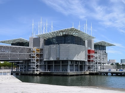
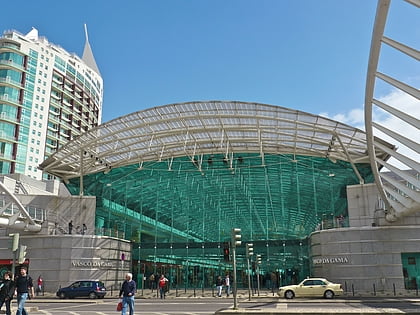
Nearby attractions include: Lisbon Oceanarium, Parque das Nações, Centro Comercial Vasco da Gama, Marina Parque Das Nações.
Frequently Asked Questions (FAQ)
How to get to Parque Urbano do Vale Fundão by public transport?
The nearest stations to Parque Urbano do Vale Fundão:
Bus
Metro
Train
Bus
- Rua Manuel Teixeira Gomes • Lines: 31B, 718 (3 min walk)
- Rua Tomás Alcaide • Lines: 31B, 718 (3 min walk)
Metro
- Chelas • Lines: Vermelha (9 min walk)
- Bela Vista • Lines: Vermelha (14 min walk)
Train
- Braço de Prata (12 min walk)
- Marvila (23 min walk)
 Metro
Metro