Garrison Border Town of Elvas and its Fortifications, Elvas
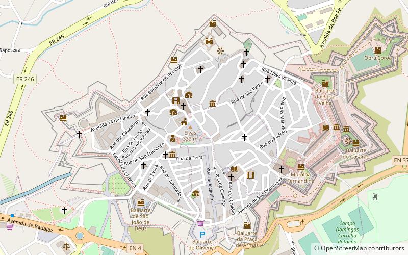
Map

Map

Facts and practical information
Elvas is a Portuguese municipality, former episcopal city and frontier fortress of easternmost central Portugal, located in the district of Portalegre in Alentejo. It is situated about 200 kilometres east of Lisbon, and about 8 kilometres west of the Spanish fortress of Badajoz, by the Madrid-Badajoz-Lisbon railway. The municipality population as of 2011 was 23,078, in an area of 631.29 square kilometres. The city itself had a population of 16,640 as of 2011. ()
Local name: Cidade-Quartel Fronteiriça de Elvas e as suas Fortificações Unesco: from 2012Area: 2.66 mi²Coordinates: 38°52'50"N, 7°9'48"W
Address
Elvas
ContactAdd
Social media
Add
Day trips
Garrison Border Town of Elvas and its Fortifications – popular in the area (distance from the attraction)
Nearby attractions include: Aqueduto da Amoreira, Castelo de Elvas, Our Lady of the Assumption Cathedral, Forte da Graça.
Frequently Asked Questions (FAQ)
Which popular attractions are close to Garrison Border Town of Elvas and its Fortifications?
Nearby attractions include Our Lady of the Assumption Cathedral, Elvas (2 min walk), Castelo de Elvas, Elvas (5 min walk), British Cemetery, Elvas (6 min walk), Aqueduto da Amoreira, Elvas (14 min walk).


