Serra Amarela, Peneda-Gerês National Park
Map

Map

Facts and practical information
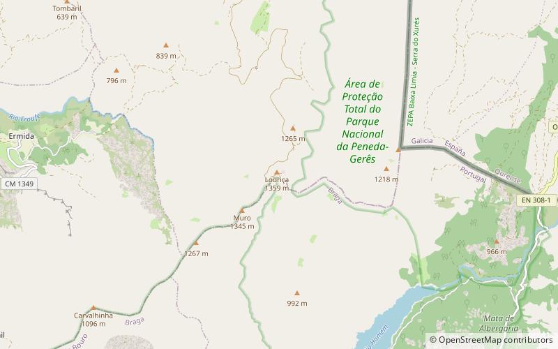
Serra Amarel - Mountain massif located on the Iberian Peninsula, in Northern Portugal, on a borderland with Spanish Galicia, in the areas of Ponte da Barca and Terras de Bouro. The highest peak Louriça dates back to 1362 m np.m. It is part of the Peneda-Gerês mountain system. Partially covered by the National Park Peneda-Gerês.
Address
Peneda-Gerês National Park
ContactAdd
Social media
Add
Day trips
Serra Amarela – popular in the area (distance from the attraction)
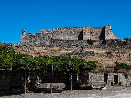
Nearby attractions include: Castle of Lindoso.

