Câmara Municipal do Porto, Porto
Map

Map

Facts and practical information
The Oporto City Council is the collegial executive body representing the municipality of Oporto, with the mission of defining and executing policies that promote the development of the municipality.
The Oporto City Council is the second largest in the country, being composed of 13 councilors, representing different political forces. The office of Mayor is held by the first candidate from the list with the most votes in a municipal election, or, in the event of a vacancy, by the next candidate on the respective list.
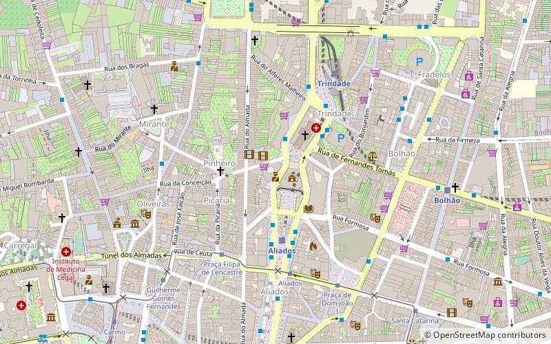
Coordinates: 41°9'1"N, 8°36'40"W
Day trips
Câmara Municipal do Porto – popular in the area (distance from the attraction)
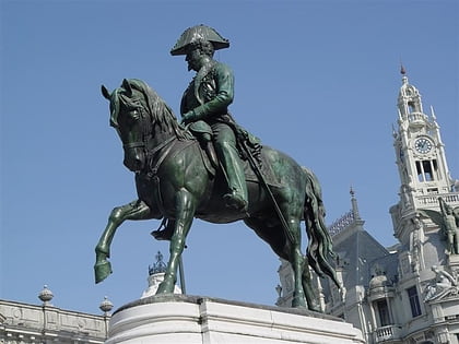
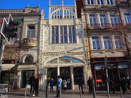
Nearby attractions include: Monument to Pedro IV, Livraria Lello, Torre dos Clérigos, Igreja de Santo Ildefonso.
Frequently Asked Questions (FAQ)
Which popular attractions are close to Câmara Municipal do Porto?
Nearby attractions include Devesas Factory Warehouse, Porto (5 min walk), Rivoli Theatre, Porto (5 min walk), Palacete of the Visconts of Balsemão, Porto (6 min walk), Monument to Pedro IV, Porto (7 min walk).
How to get to Câmara Municipal do Porto by public transport?
The nearest stations to Câmara Municipal do Porto:
Light rail
Bus
Tram
Train
Light rail
- Aliados • Lines: D (3 min walk)
- Trindade • Lines: A, B, C, D, E, F (5 min walk)
Bus
- Trindade • Lines: 200, 201, 202, 208, 304, 501, 5M, 600, 703, 900, 901 (3 min walk)
- Avenida dos Aliados • Lines: 13M, 1M, 200, 201, 202, 208, 304, 400, 501, 5M, 600, 703, 900, 901, 904 (4 min walk)
Tram
- Praça Filipa de Lencastre • Lines: 22 (5 min walk)
- Aliados • Lines: 22 (5 min walk)
Train
- Porto - São Bento (9 min walk)
- Batalha (13 min walk)


