Ponte da Boutaca, Batalha
Map

Map

Facts and practical information
39.65804° 00′ 00″ N, 8.83093° 00′ 00″ O
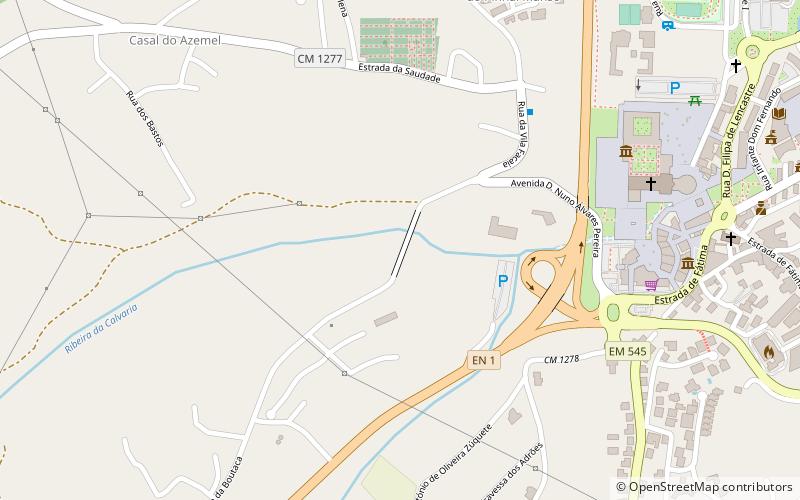
Boutaca Bridge or Boitaca Bridge, in the municipality of Batalha, Portugal, is a bridge built in the second half of the nineteenth century, in 1862, in revivalist style and with neo-Gothic features. The Ribeira da Calvaria, a tributary of the Lena River, flows underneath it.
This monument is classified as a Public Interest Property; it is indexed in the IGESPAR database with the number 73465 and in the SIPA database with the number 3333.
Coordinates: 39°39'28"N, 8°49'52"W
Day trips
Ponte da Boutaca – popular in the area (distance from the attraction)
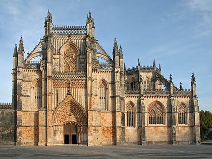
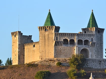
Nearby attractions include: Batalha Monastery, Castelo de Porto de Mós, Igreja da Exaltação de Santa Cruz, Camadas de Guimarota.
Frequently Asked Questions (FAQ)
When is Ponte da Boutaca open?
Ponte da Boutaca is open:
- Monday 24h
- Tuesday 24h
- Wednesday 24h
- Thursday 24h
- Friday 24h
- Saturday 24h
- Sunday 24h
Which popular attractions are close to Ponte da Boutaca?
Nearby attractions include Batalha Monastery, Batalha (8 min walk), Igreja da Exaltação de Santa Cruz, Batalha (10 min walk).


