Ria Alvor, Portimão

Facts and practical information
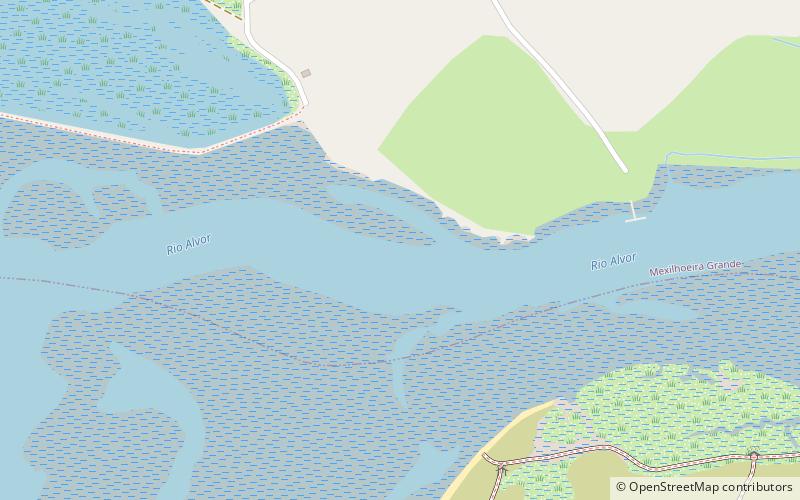
The Alvor River is a small Portuguese river, resulting from the union of four watercourses born on the southern slope of the Monchique Mountains: the Ribeira do Farelo and the Ribeira da Torre and the Ribeira de Odiáxere with its tributary Ribeira do Arão. From there it establishes an extended ria, which forms the natural border between the parishes of Odiáxere, Mexilhoeira Grande and Alvor.
The Ria de Alvor is recognized as a Site of Community Importance. It includes grey dunes, beaches and estuaries, agricultural land, semi-natural scrubland, pine forest and salt marshes, as well as hosting species and habitats of Community interest, according to the Habitats Directive. It is also a site classified as a Ramsar site
The two largest properties on the Ria de Alvor are Quinta da Rocha and Abicada.
Portimão
- Bus
 Bus
Bus
- Calculate routeAlvor Marginal 22 min walk
- Calculate routeC. Desportivo De Alvor 23 min walk
- Calculate routeEB1 Alvor 23 min walk
- Calculate routeAlvor Centro 26 min walk


Frequently Asked Questions (FAQ)
How to get to Ria Alvor by public transport?
Bus
- Alvor Marginal • Lines: 14, 1P (22 min walk)
- C. Desportivo De Alvor • Lines: 14, 1P (23 min walk)