Montalegre

Gallery (2)
Map
Map
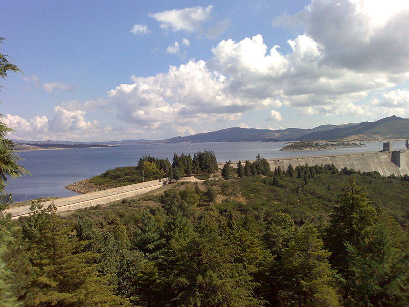
Gallery
Facts and practical information
Montalegre is a municipality in northern Portugal, located in the district of Vila Real, along the border with Spain. The population in 2011 was 10,537, in an area of 805.46 km². ()
Day trips
Montalegre – popular in the area (distance from the attraction)
Nearby attractions include: Montalegre Castle.
