Topo Islet
Map

Map

Facts and practical information
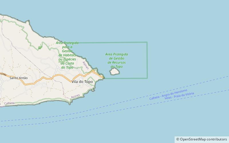
Topo Islet is a vegetated uninhabited islet just off the extreme southeastern tip of the island of São Jorge in the Portuguese archipelago of the Azores. ()
Alternative names: Area: 49.42 acres (0.0772 mi²)Elevation: 46 ft a.s.l.Coordinates: 38°33'3"N, 27°44'47"W
Location
Azores
ContactAdd
Social media
Add
Day trips
Topo Islet – popular in the area (distance from the attraction)
Nearby attractions include: Church of Nossa Senhora do Rosário, Solar dos Tiagos.


