Rio Tinto, Porto
Map

Map

Facts and practical information
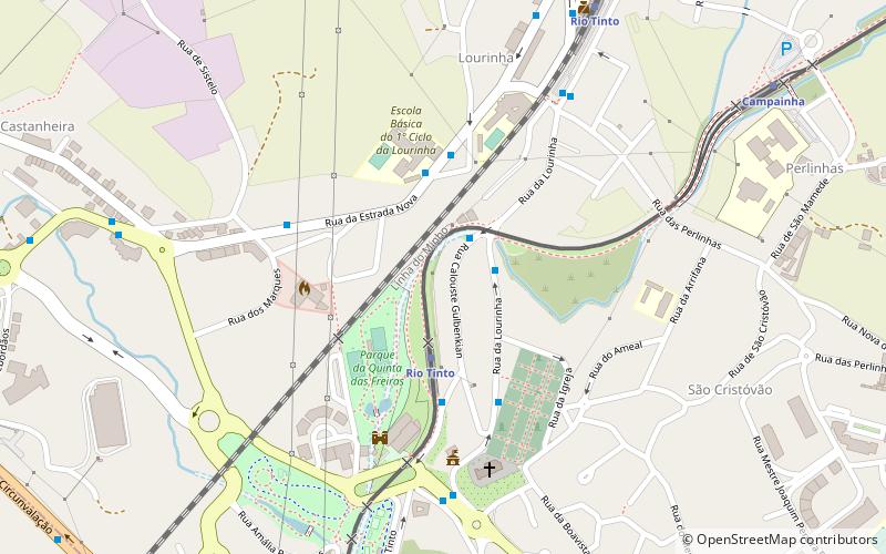
Rio Tinto is a Portuguese city and parish, located in Gondomar Municipality, in northern Portugal. The population in 2011 was 50,713, in an area of 9.38 km². Rio Tinto, which in Portuguese means red river, was elevated to city status in 1995, and the city of Rio Tinto includes two parishes : Baguim do Monte and Rio Tinto, with a total of 65,000 inhabitants, being the most populous city in Gondomar municipality, and third largest in the Greater Porto agglomeration. ()
Day trips
Rio Tinto – popular in the area (distance from the attraction)
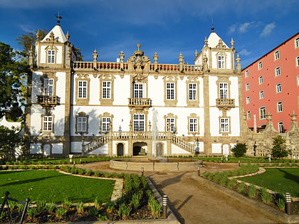
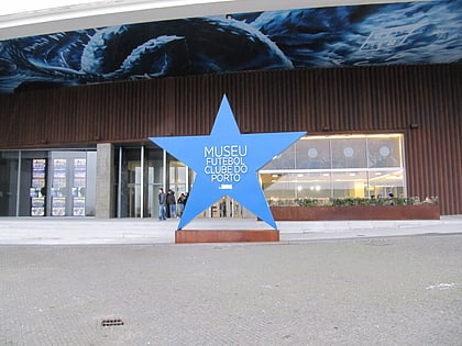
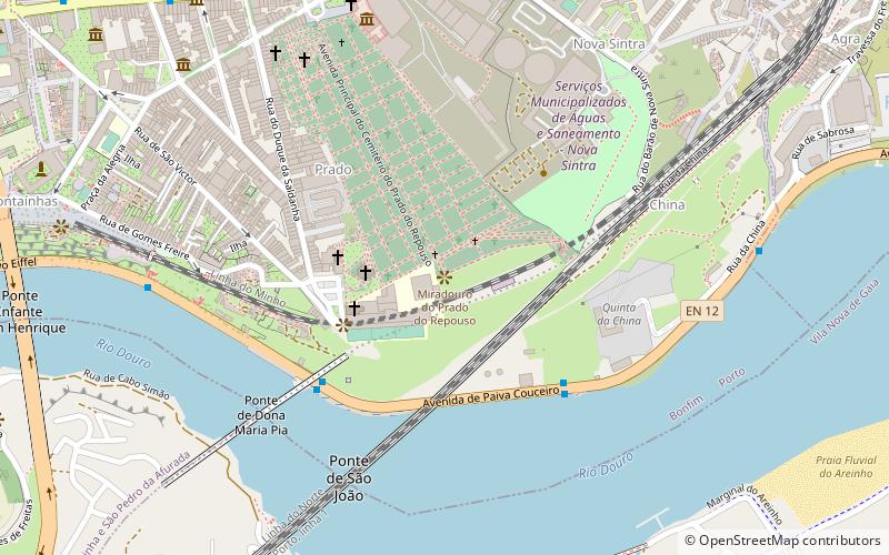
Nearby attractions include: Estádio do Dragão, Palace of Freixo, FC Porto Museum, Museu Militar do Porto.
Frequently Asked Questions (FAQ)
How to get to Rio Tinto by public transport?
The nearest stations to Rio Tinto:
Bus
Light rail
Train
Bus
- Lourinha • Lines: 803 (2 min walk)
- Bazar • Lines: 803 (3 min walk)
Light rail
- Rio Tinto • Lines: F (3 min walk)
- Levada • Lines: F (10 min walk)
Train
- Rio Tinto (8 min walk)
- Porto-Contumil (25 min walk)


