Baixo Vouga, Aveiro
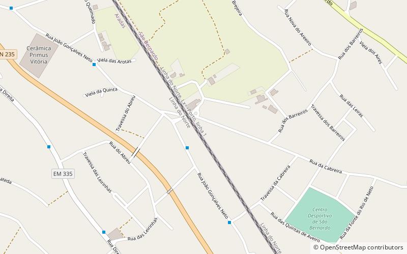
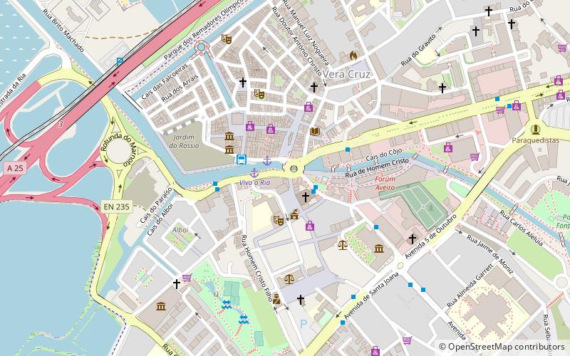
Map
Facts and practical information
Baixo Vouga is a former Portuguese subregion integrated in the Centro Region. It was abolished at the January 2015 NUTS 3 revision. It was centered on the city of Aveiro. Other major cities included Águeda, Ílhavo and Ovar. The subregion covered an area of 1,807 km2 and had a population of 394,393 inhabitants for an overall density of 218 inhabitants/km2. It was crossed from east to west by the Vouga River. ()
Address
Aveiro
ContactAdd
Social media
Add
Day trips
Baixo Vouga – popular in the area (distance from the attraction)
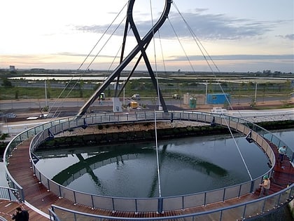
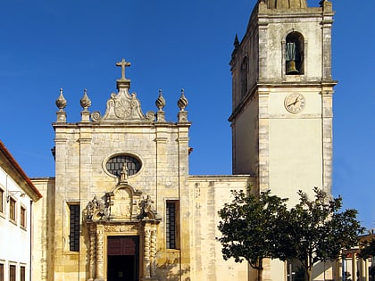
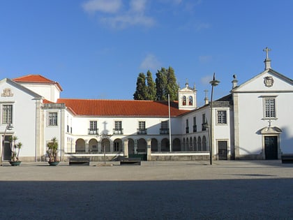
Nearby attractions include: Circular Pedestrian Bridge, Cathedral of Aveiro, Church of São João Evangelista, Ponte de Praia da Barra.
Frequently Asked Questions (FAQ)
How to get to Baixo Vouga by public transport?
The nearest stations to Baixo Vouga:
Bus
Bus
- R. João Gonçalves Neto / Praceta do Portela • Lines: L9 (2 min walk)
- Escola das Leirinhas • Lines: L9 (9 min walk)
