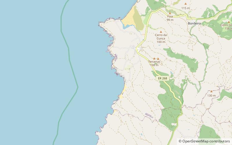
Islamic Fishing Village, Carrapateira
Map

Map

Facts and practical information
The Islamic Fishing Village is an archaeological site close to the town of Carrapateira in the municipality of Aljezur, Algarve Region of Portugal. The site was excavated by a team of researchers from the New University of Lisbon in 2001. This permitted the settlement to be dated to the 12th and 13th centuries, during the Almohad Caliphate at the end of the Muslim occupation of the Algarve. ()
Coordinates: 37°10'23"N, 8°54'28"W
Address
Carrapateira
ContactAdd
Social media
Add
