San Lorenzo
Map
Gallery
Facts and practical information
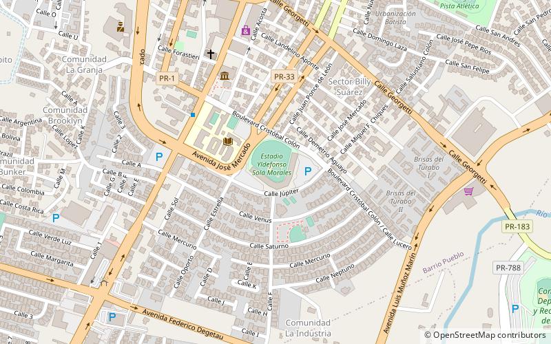
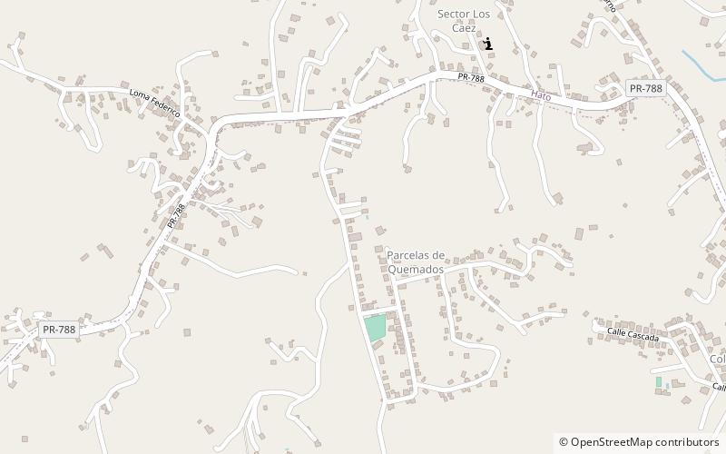
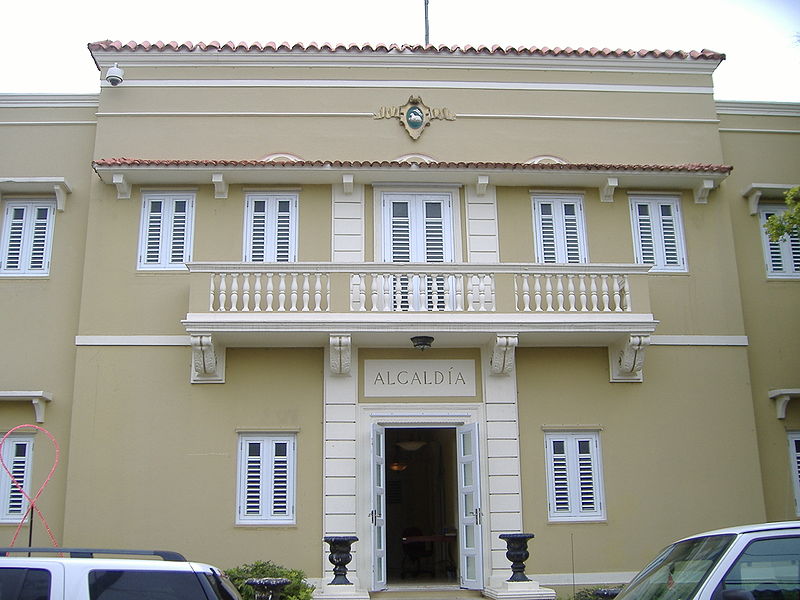
San Lorenzo is a town and municipality of Puerto Rico located in the eastern central region, north of Patillas and Yabucoa; south of Gurabo; east of Caguas and Cayey; and west of Juncos and Las Piedras. San Lorenzo is spread over twelve barrios and San Lorenzo Pueblo. It is part of the San Juan-Caguas-Guaynabo Metropolitan Statistical Area. ()
Alternative names: Founded: 1737 (289 years ago)Population: 9.4 thous.Area: 53.21 mi²Coordinates: 18°11'3"N, 65°59'15"W
Location
Region: San Lorenzo
ContactAdd
Social media
Add
Day trips
San Lorenzo – popular in the area (distance from the attraction)
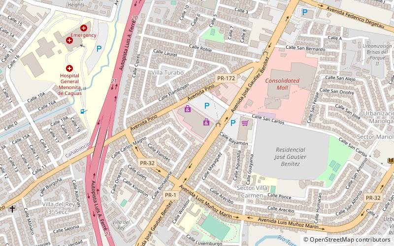
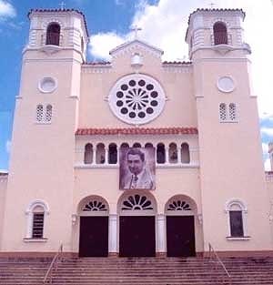
Nearby attractions include: William Miranda Marín Botanical and Cultural Garden, Las Catalinas Mall, Plaza del Carmen Mall, Catedral Dulce Nombre de Jesús.


