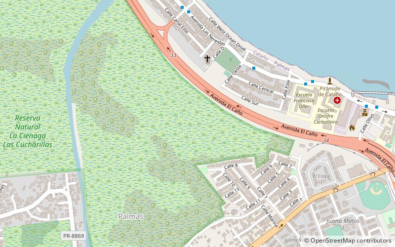
Cataño, San Juan

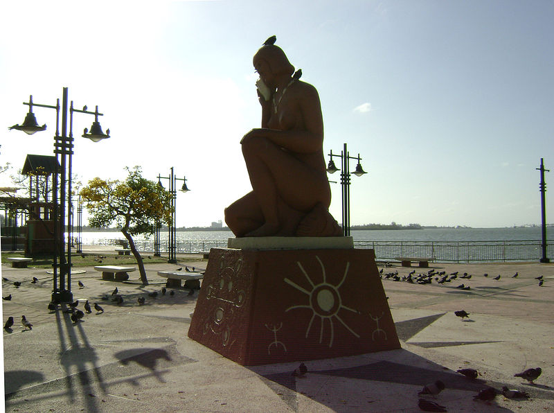
Gallery (3)
Map
Map
Gallery
Facts and practical information
Cataño is a town and municipality located on the northern coast of Puerto Rico, bordering the San Juan Bay and the Atlantic Ocean, and adjacent to the north and east by San Juan; north of Bayamón and Guaynabo; east of Toa Baja and west of Guaynabo and is part of the San Juan Metropolitan Area. Cataño is spread over 7 barrios and Cataño Pueblo. It is part of the San Juan-Caguas-Guaynabo Metropolitan Statistical Area. ()
Address
PalmasSan Juan
ContactAdd
Social media
Add
Getting there by public transportation
Public transportation stops near this location
- Bus
 Bus
Bus
- Calculate routeTerminal de Cataño 15 min walk
Day trips


Frequently Asked Questions (FAQ)
How to get to Cataño by public transport?
The nearest stations to Cataño:
Bus
Bus
- Terminal de Cataño (15 min walk)