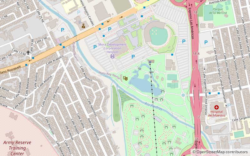
Hato Rey Sur, San Juan

Gallery (4)
Map


Map
Gallery
Facts and practical information
Hato Rey Sur is one of the 18 barrios of the municipality of San Juan, Puerto Rico. Hato Rey Sur was a barrio of the former municipality of Rio Piedras, before it was merged with the municipality of San Juan in 1951. Following the annexation of Rio Piedras, the city of San Juan, and its surrounding area now including Rio Piedras, quadrupled its former size. ()
Address
Hato Rey SurSan Juan
ContactAdd
Social media
Add
Getting there by public transportation
Public transportation stops near this location
- Metro
- Bus
 Metro
Metro
- Calculate routeUniversidad 12 min walk
- Calculate routePiñero 12 min walk
- Calculate routeRío Piedras 15 min walk
- Calculate routeDomenech 20 min walk
- Calculate routeTerminal de Carros Públicos 24 min walk
- Calculate routeTerminal Capetillo 25 min walk
- Calculate routeTerminal Cupey 27 min walk
Day trips


Frequently Asked Questions (FAQ)
Which popular attractions are close to Hato Rey Sur?
Nearby attractions include El Guatibirí, San Juan (12 min walk), University of Puerto Rico, San Juan (16 min walk), Río Piedras, San Juan (17 min walk), University of Puerto Rico, San Juan (20 min walk).
How to get to Hato Rey Sur by public transport?
The nearest stations to Hato Rey Sur:
Metro
Bus
Metro
- Universidad • Lines: Tren Urbano (12 min walk)
- Piñero • Lines: Tren Urbano (12 min walk)
Bus
- Terminal de Carros Públicos (24 min walk)
- Terminal Capetillo (25 min walk)