Mangrove Tower, San Juan
Map
Facts and practical information
The Mangrove Tower was a proposed multipurpose skyscraper for San Juan, Puerto Rico, that if built, would have been the tallest building in the Caribbean. ()
Address
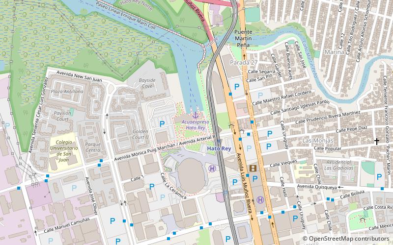
Hato Rey NorteSan Juan
ContactAdd
Social media
Add
Getting there by public transportation
Public transportation stops near this location
- Metro
- Bus
 Metro
Metro
- Calculate routeHato Rey 2 min walk
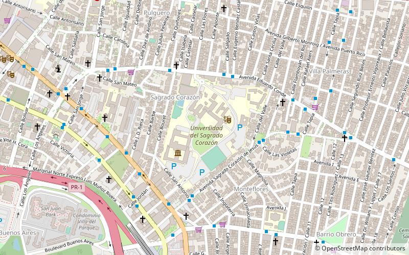
- Calculate routeSagrado Corazón 12 min walk
- Calculate routeRoosevelt 13 min walk
- Calculate routeDomenech 27 min walk
- Calculate routeTerminal Sagrado Corazón 10 min walk
- Calculate routeAvenida Fernández Juncos 11 min walk
- Calculate routeCentro de Transferencia Hato Rey 13 min walk
Day trips


Frequently Asked Questions (FAQ)
Which popular attractions are close to Mangrove Tower?
Nearby attractions include Coliseo de Puerto Rico, San Juan (4 min walk), Martín Peña Bridge, San Juan (7 min walk), Universidad del Sagrado Corazón, San Juan (22 min walk).
How to get to Mangrove Tower by public transport?
The nearest stations to Mangrove Tower:
Metro
Bus
Metro
- Hato Rey • Lines: Tren Urbano (2 min walk)
- Sagrado Corazón • Lines: Tren Urbano (12 min walk)
Bus
- Terminal Sagrado Corazón (10 min walk)
- Avenida Fernández Juncos • Lines: T3 (11 min walk)