Fereej Al Asiri, Doha
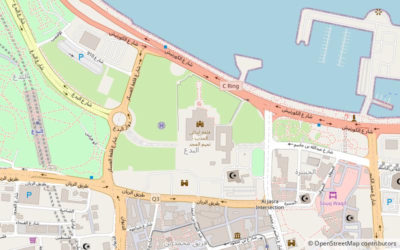
Map
Map

Facts and practical information
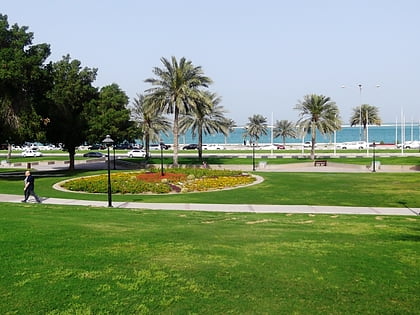
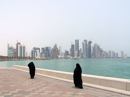
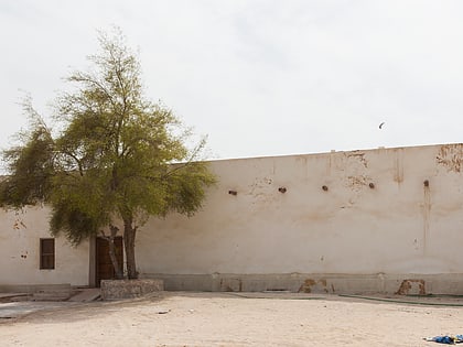
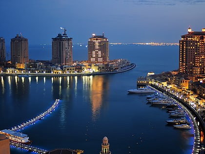
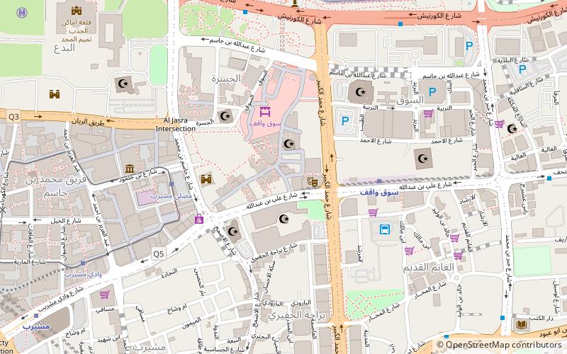
Fereej Al Asiri is a district of the municipality of Al Rayyan in Qatar. It is situated on the border with Ad-Dawhah Municipality and is thus considered a part of Metropolitan Doha. The district of Al Mamoura borders it to the south, New Salata borders it to the east and Fereej Al Nasr borders it to the north. ()
Coordinates: 25°17'12"N, 51°31'60"E
Address
الجسرة (aljsrt)Doha
ContactAdd
Social media
Add
Day trips
Fereej Al Asiri – popular in the area (distance from the attraction)
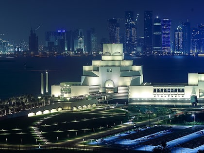
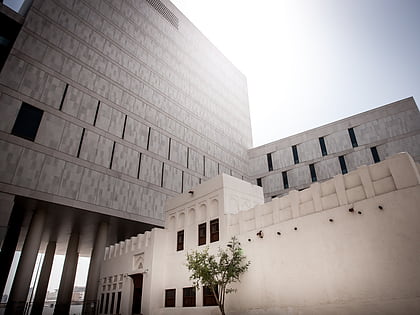
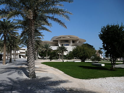
Nearby attractions include: Museum of Islamic Art, Emiri Diwan, Msheireb Museums, National Museum of Qatar.
Frequently Asked Questions (FAQ)
Which popular attractions are close to Fereej Al Asiri?
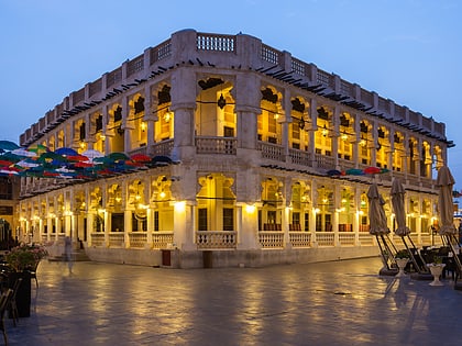
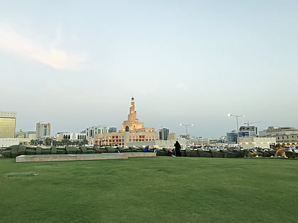
Nearby attractions include Souq Waqif, Doha (1 min walk), Al Koot Fort, Doha (4 min walk), Fanar Qatar Islamic Cultural Center, Doha (6 min walk), Msheireb Museums, Doha (7 min walk).
How to get to Fereej Al Asiri by public transport?
The nearest stations to Fereej Al Asiri:
Metro
Tram
Bus
Metro
- Souq Waqif • Lines: Gold (5 min walk)
- Msheireb • Lines: Gold, Green, Red (15 min walk)
Tram
- Mushayrib Prayer Ground • Lines: ترام:مشيرب (6 min walk)
- Heritage Quarter • Lines: ترام:مشيرب (7 min walk)
Bus
- Al Ghanim Bus Station (6 min walk)
- 2524 • Lines: 10 (26 min walk)

