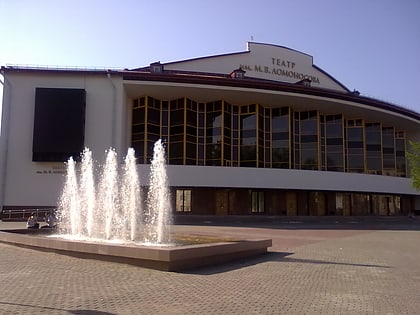
Oktyabrsky District, Arkhangelsk
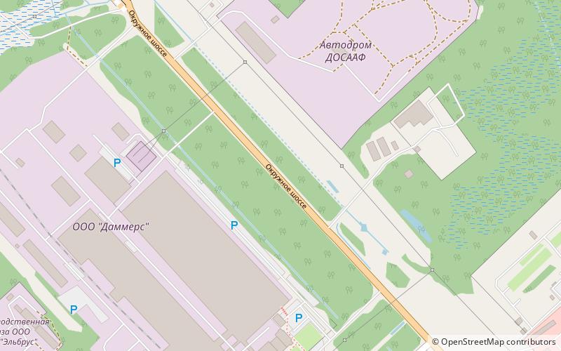
Map
Facts and practical information
Oktyabrsky District is the name of several administrative and municipal divisions in Russia. The districts are generally named for the October Revolution of 1917. ()
Coordinates: 64°31'45"N, 40°39'19"E
Address
Arkhangelsk
ContactAdd
Social media
Add
Day trips
Oktyabrsky District – popular in the area (distance from the attraction)
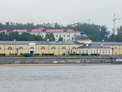
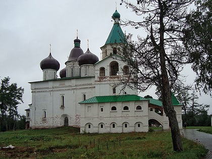
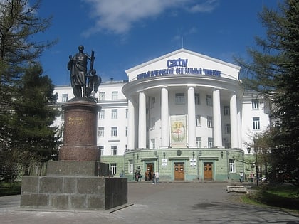
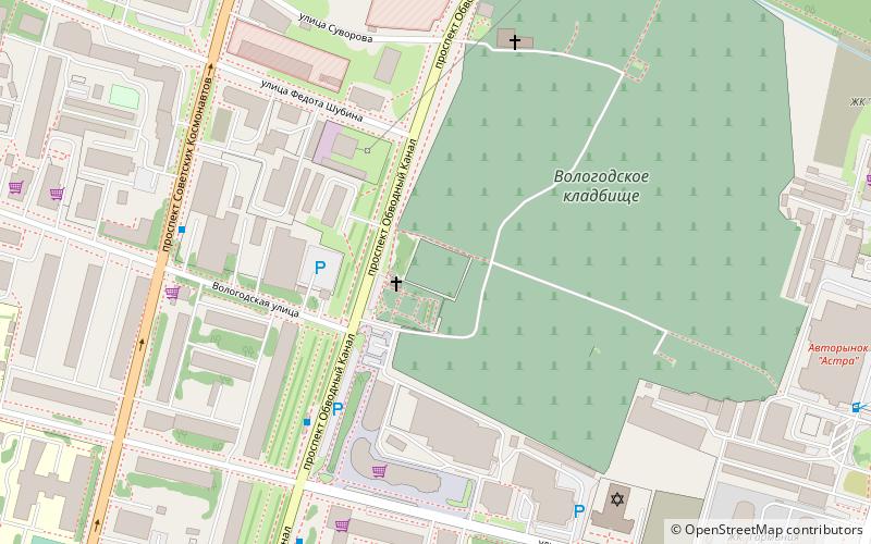
Nearby attractions include: Arkhangelsk Gostiny Dvor, Siya Monastery, Northern Federal University, Archangel Allied Cemetery.
Frequently Asked Questions (FAQ)
How to get to Oktyabrsky District by public transport?
The nearest stations to Oktyabrsky District:
Bus
Train
Bus
- Протезная мастерская • Lines: 4, 41, 43, 44, 64 (23 min walk)
- улица Воронина • Lines: 15, 4, 41, 43, 44, 64 (23 min walk)
Train
- 4 км (27 min walk)
- 7 км (33 min walk)
