Tyatya, Kurils Nature Reserve
Map

Map

Facts and practical information
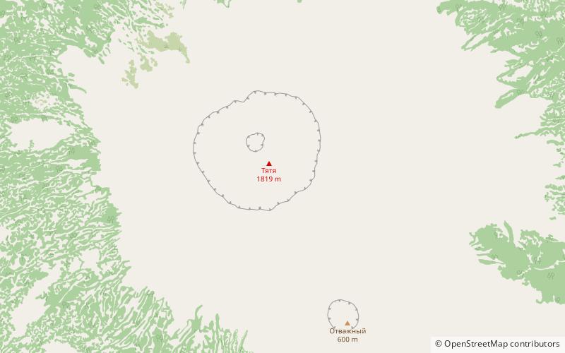
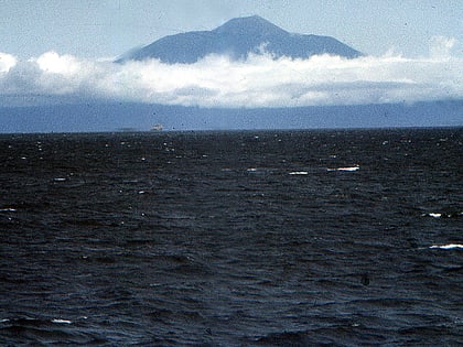
Tyatya is a volcano located in the northeastern part of Kunashir Island, Kuril Islands, Russia. It is the highest peak on the island with an elevation of 1,819 metres. Tyatya is one of the finest examples anywhere in the world of a somma volcano, a stratovolcano whose summit has collapsed to form a caldera which has then been mostly refilled by a new, younger volcanic cone which rises above the caldera rim. ()
Local name: Тятя Last eruption: 1981Elevation: 5968 ftProminence: 5968 ftCoordinates: 44°21'3"N, 146°15'22"E
Address
Kurils Nature Reserve
ContactAdd
Social media
Add
