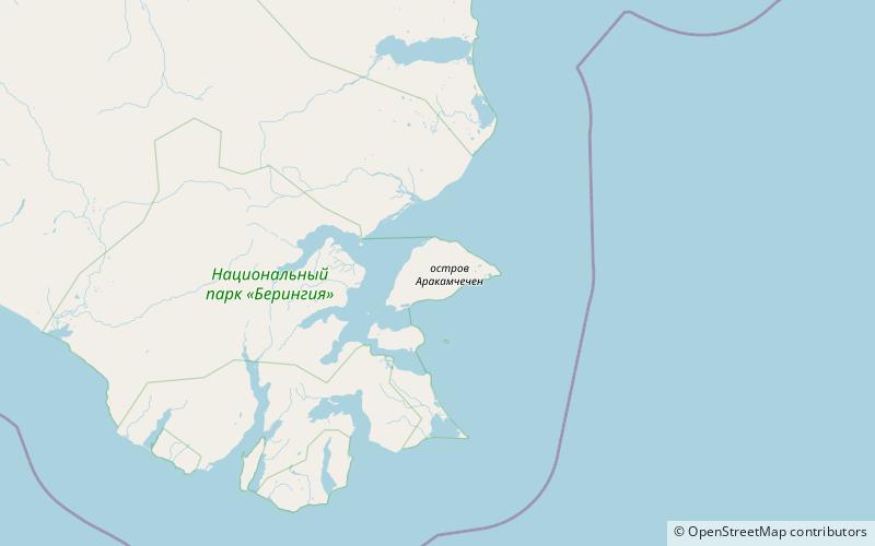
Arakamchechen Island, Beringia National Park

Gallery (1)
Map
Map
Facts and practical information
Arakamchechen Island is an island in the Bering Sea. ()
Local name: Аракамчечен Area: 103.4 mi²Maximum elevation: 2011 ftCoordinates: 64°45'32"N, 172°22'52"W
Address
Beringia National Park
ContactAdd
Social media
Add