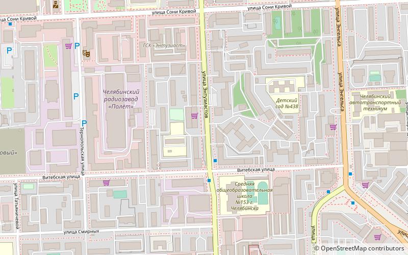
Traktorozavodsky City District, Chelyabinsk

Map
Facts and practical information
Traktorozavodsky City District is the name of several city divisions in Russia. The name literally means "pertaining to a tractor plant". ()
Coordinates: 55°9'17"N, 61°22'33"E
Address
Chelyabinsk
ContactAdd
Social media
Add
Day trips
Traktorozavodsky City District – popular in the area (distance from the attraction)
Nearby attractions include: Yunost Sport Palace, Hram Aleksandra Nevskogo, Aloe pole, Chelyabinsk State Pedagogical University.
Frequently Asked Questions (FAQ)
Which popular attractions are close to Traktorozavodsky City District?
Nearby attractions include OKNO Gallery, Chelyabinsk (6 min walk), South Ural State University, Chelyabinsk (10 min walk), Chelyabinsk State Pedagogical University, Chelyabinsk (15 min walk), Pamatnik I. V. Kurcatovu, Chelyabinsk (16 min walk).
How to get to Traktorozavodsky City District by public transport?
The nearest stations to Traktorozavodsky City District:
Tram
Train
Trolleybus
Tram
- Южная улица • Lines: 6 (14 min walk)
- улица Курчатова • Lines: 6 (17 min walk)
Train
- Zvyozdnaya (15 min walk)
- Pavlika Morozova (22 min walk)
Trolleybus
- Алое поле • Lines: 13, 19, 26 (17 min walk)
- Труда • Lines: 26 (22 min walk)


