Fontanka, Saint Petersburg
Map

Map

Facts and practical information
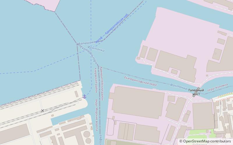
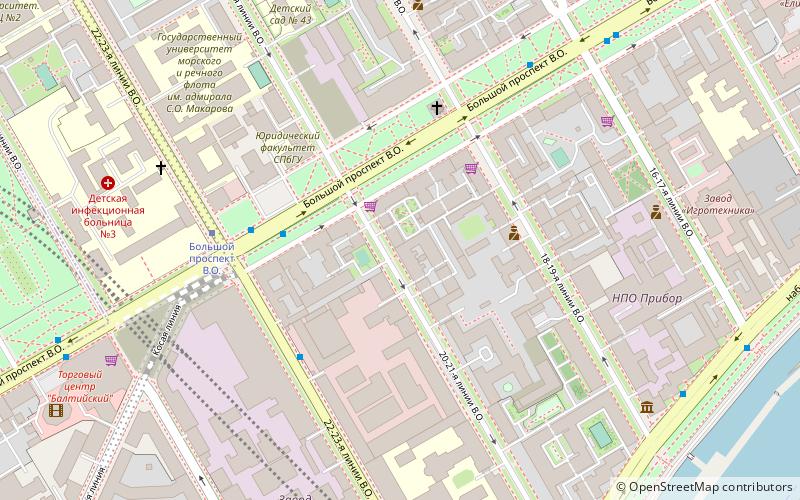
The Fontanka, a left branch of the river Neva, flows through the whole of Central Saint Petersburg, Russia – from the Summer Garden to Gutuyevsky Island. It is 6.7 kilometres long, with a width up to 70 metres, and a depth up to 3.5 metres. The Moyka River forms a right-bank branch of the Fontanka. Lined along the Fontanka Embankment stand the former private residences of Russian nobility. ()
Address
Naberezhnaya Reki FontankiАдмиралтейский район (Коломна Коломна)Saint Petersburg
ContactAdd
Social media
Add
Day trips
Fontanka – popular in the area (distance from the attraction)
Nearby attractions include: Staro-Kalinkin Bridge, Mogilyovsky Bridge, Bobrinsky Palace, Narva Triumphal Arch.
Frequently Asked Questions (FAQ)
Which popular attractions are close to Fontanka?
Nearby attractions include Obvodny Canal, Saint Petersburg (13 min walk), Church of the Epiphany, Saint Petersburg (15 min walk), Staro-Kalinkin Bridge, Saint Petersburg (15 min walk), Malo-Kalinkin Bridge, Saint Petersburg (16 min walk).
How to get to Fontanka by public transport?
The nearest stations to Fontanka:
Bus
Tram
Train
Trolleybus
Metro
Bus
- Улица Степана Разина • Lines: 22, 43, 66, 70, 71 (8 min walk)
- Гапсальская улица • Lines: 22, 43, 71 (8 min walk)
Tram
- Лифляндская улица • Lines: 41 (13 min walk)
- набережная Обводного канала (14 min walk)
Train
- Новый порт (26 min walk)
Trolleybus
- Детская улица • Lines: 10, 11 (27 min walk)
- Вёсельная улица • Lines: 10, 11 (27 min walk)
Metro
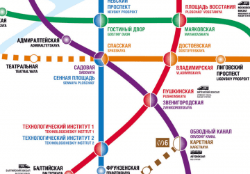
- Нарвская • Lines: 1 (31 min walk)

 Metro
Metro


