Chikurachki, Paramushir
Map

Map

Facts and practical information
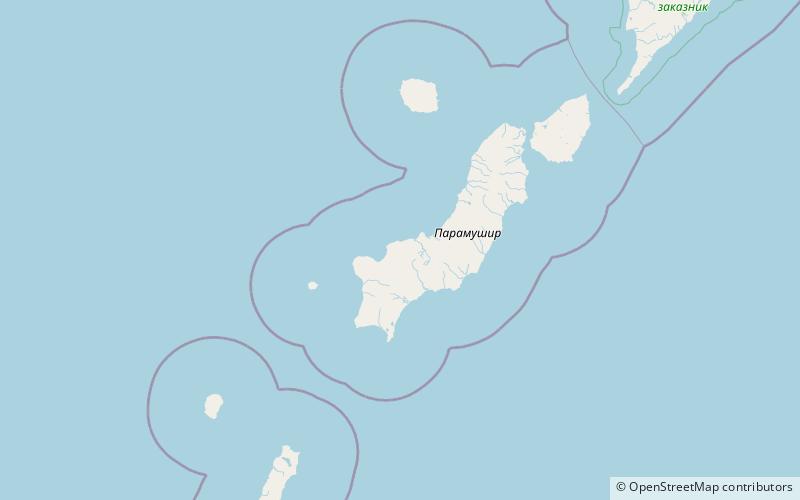
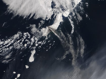
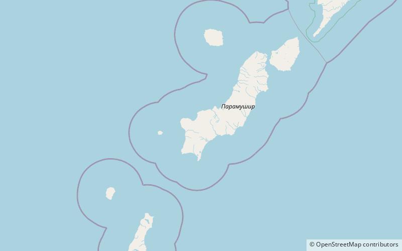
Chikurachki is the highest volcano on Paramushir Island in the northern Kuril Islands. It is actually a relatively small volcanic cone constructed on a high Pleistocene volcanic edifice. Oxidized andesitic scoria deposits covering the upper part of the young cone gives it a distinctive red color. Lava flows from 1,816-metre high Chikurachki reached the sea and form capes on the northwest coast; several young lava flows also emerge from beneath the scoria blanket on the eastern flank. ()
Local name: Чикурачки Last eruption: 2016Elevation: 5958 ftProminence: 5958 ftCoordinates: 50°19'24"N, 155°27'40"E
Address
Paramushir
ContactAdd
Social media
Add
Day trips
Chikurachki – popular in the area (distance from the attraction)
Nearby attractions include: Lomonosov Group.

