Saint Petersburg/Vasilievsky Island, Saint Petersburg
Map
Gallery
Facts and practical information
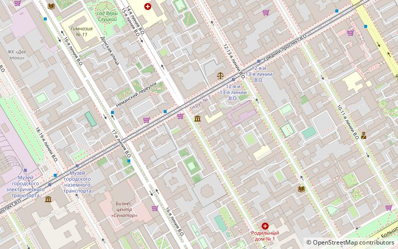
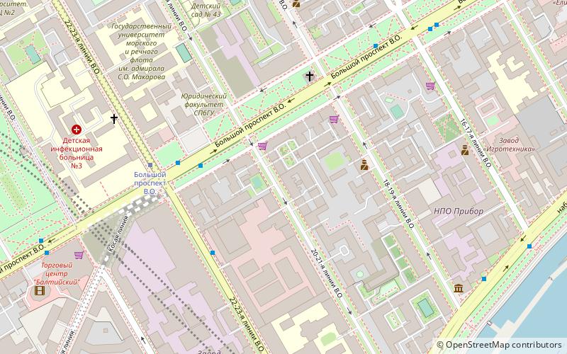
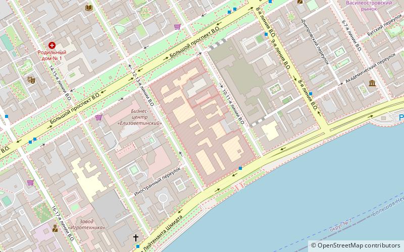
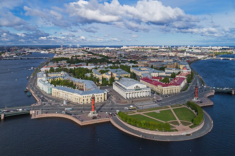
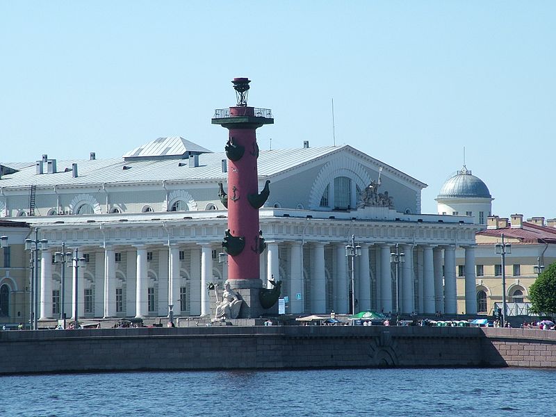
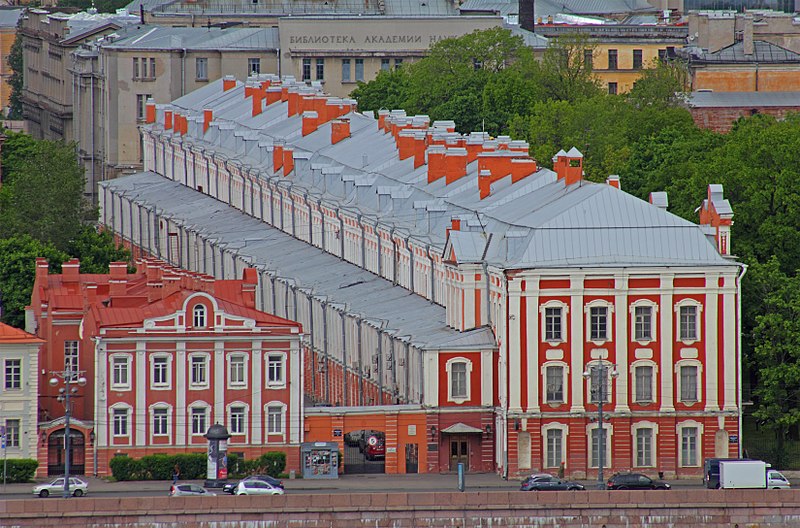
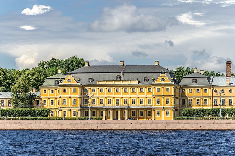
Vasilyevsky Island is an island in St. Petersburg, Russia, bordered by the Bolshaya Neva and Malaya Neva Rivers in the south and northeast, and by Neva Bay of the Gulf of Finland in the west. Vasilyevsky Island is separated from Dekabristov Island by the Smolenka River. Together they form the territory of Vasileostrovsky District, an administrative division of Saint Petersburg. ()
Address
Василеостровский район (№9)Saint Petersburg
ContactAdd
Social media
Add
Day trips
Saint Petersburg/Vasilievsky Island – popular in the area (distance from the attraction)
Nearby attractions include: Artmuza, Erarta Galleries, Erarta, Smolensky Cemetery.
Frequently Asked Questions (FAQ)
Which popular attractions are close to Saint Petersburg/Vasilievsky Island?
Nearby attractions include Kuryokhin Center, Saint Petersburg (9 min walk), Smolensky Cemetery, Saint Petersburg (10 min walk), Narodovolets Submarine D-2, Saint Petersburg (13 min walk), Erarta Galleries, Saint Petersburg (14 min walk).
How to get to Saint Petersburg/Vasilievsky Island by public transport?
The nearest stations to Saint Petersburg/Vasilievsky Island:
Bus
Trolleybus
Tram
Metro
Bus
- улица Беринга • Lines: 100, 47 (1 min walk)
- Гаванская улица • Lines: 1, 100, 47, 6 (6 min walk)
Trolleybus
- улица Беринга • Lines: 9 (1 min walk)
- Гаванская улица • Lines: 9 (6 min walk)
Tram
- Малый проспект В.О. • Lines: 40, 6 (9 min walk)
- Гаванская улица • Lines: 40, 6 (6 min walk)
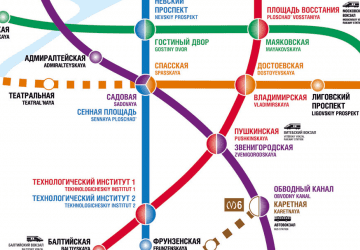
Metro
- Приморская • Lines: 3 (19 min walk)
- Василеостровская • Lines: 3 (30 min walk)



 Metro
Metro


