Fort No 1 Stajn, Kaliningrad
Map
Map

Facts and practical information
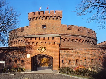
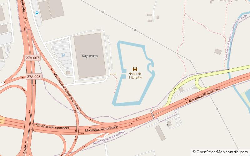
Fort No. 1 "Stein" - Fort is a military fortification in the suburbs of Königsberg, built in 1875-1879. Originally the fort was called Laut, like the former German settlement located nearby. Since 1894 the fort was renamed after Baron Heinrich Friedrich Carl von Stein, a prominent Prussian political figure of the early 19th century.
Coordinates: 54°42'22"N, 20°36'18"E
Address
Kaliningrad
ContactAdd
Social media
Add
Day trips
Fort No 1 Stajn – popular in the area (distance from the attraction)
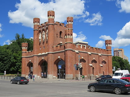
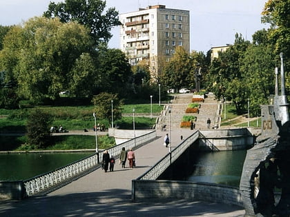
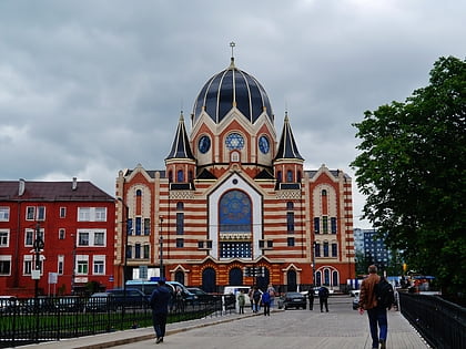
Nearby attractions include: Kaliningrad Amber Museum, King's Gate, Lower Pond, Königsberg Synagogue.
Frequently Asked Questions (FAQ)
How to get to Fort No 1 Stajn by public transport?
The nearest stations to Fort No 1 Stajn:
Bus
Trolleybus
Bus
- Мотель Балтика • Lines: 110, 112, 134, 156, 157, 37, 523, 526, 534, 536, 543, 555, 566, 580, 583, 600э, 680э, 75 (12 min walk)
- СНТ Чайка • Lines: 37 (18 min walk)
Trolleybus
- ул. Флотская • Lines: 2, 7, Троллейбус 2 ул. Красная (24 min walk)
- ул. Кутаисская • Lines: 2, 7, Троллейбус 2 ул. Красная (29 min walk)

