Tank, Krasnokamensk
Map
Facts and practical information
Tank is a place located in Krasnokamensk (Zabaykalye territory) and belongs to the category of memorial.
It is situated at an altitude of 2100 feet, and its geographical coordinates are 50°6'0"N latitude and 118°1'59"E longitude.
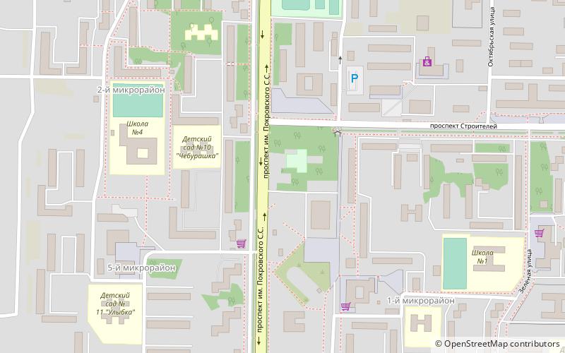
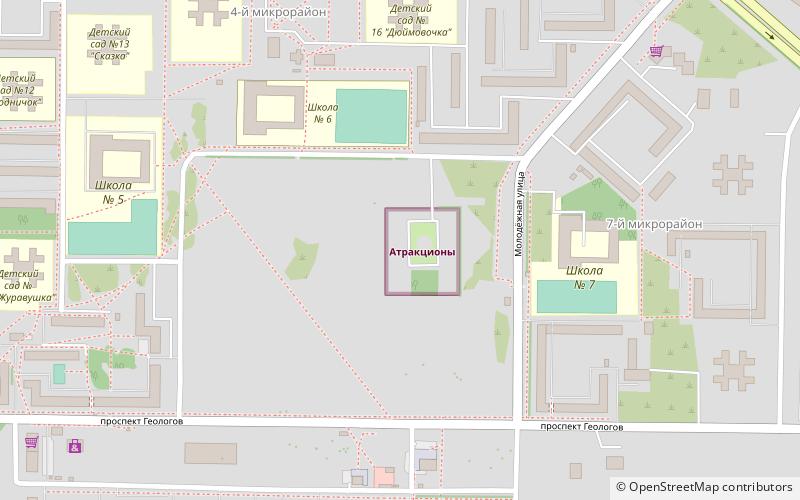
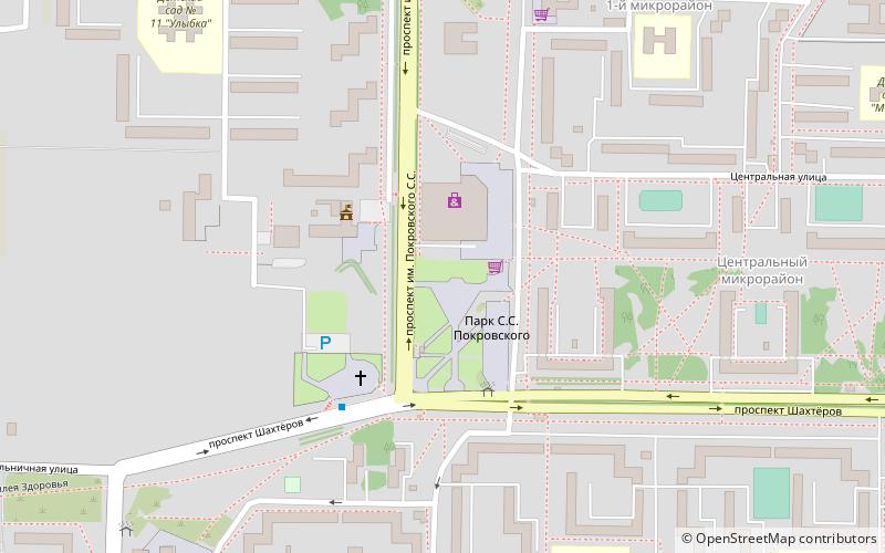
Among other places and attractions worth visiting in the area are: Pamatnik S.S. Pokrovskomu (memorial, 11 min walk), Tarbagany (memorial, 20 min walk), Atrakciony (amusement, 25 min walk).
Coordinates: 50°6'0"N, 118°1'59"E
Address
Krasnokamensk
ContactAdd
Social media
Add
Day trips
Frequently Asked Questions (FAQ)
Which popular attractions are close to Tank?
Nearby attractions include Pamatnik S.S. Pokrovskomu, Krasnokamensk (11 min walk), Tarbagany, Krasnokamensk (20 min walk).