Yuzhnoye Medvedkovo District, Moscow
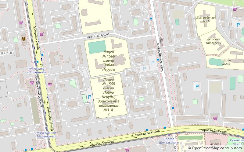
Map

Map

Facts and practical information
Yuzhnoye Medvedkovo District is a territorial division in North-Eastern Administrative Okrug, one of the 125 in the federal city of Moscow, Russia. It is located in the north of the federal city. The area of the district is 3.875 square kilometers. As of the 2010 Census, the total population of the district was 81,986. ()
Day trips
Yuzhnoye Medvedkovo District – popular in the area (distance from the attraction)
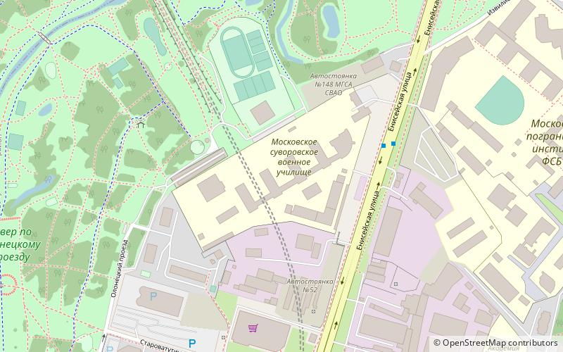
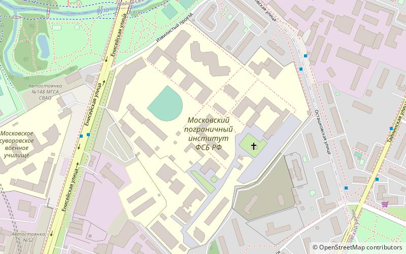
Nearby attractions include: Moscow Suvorov Military School, Moscow Border Institute of the FSB of the Russian Federation, Severnoye Medvedkovo District, Babushkinsky District.
Frequently Asked Questions (FAQ)
How to get to Yuzhnoye Medvedkovo District by public transport?
The nearest stations to Yuzhnoye Medvedkovo District:
Bus
Tram
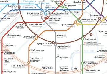
Metro
Bus
- Поликлиника 218 • Lines: 181, 483, 696, 71 (4 min walk)
- Проезд Шокальского • Lines: 124, 181, 238, 238к, 605, 696, 71, 880, 928, Н6 (5 min walk)
Tram
- Проезд Шокальского • Lines: 17 (6 min walk)
- Кинотеатр Полярный • Lines: 17 (7 min walk)
Metro
- Babushkinskaya (23 min walk)
- Medvedkovo (30 min walk)

 Metro
Metro


