Kumba

Gallery (1)
Map
Map
Facts and practical information
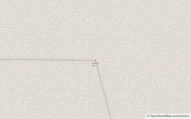
Kumba is a mountain in the southern part of the Northern Urals, in the Severouralsky urban district of the Sverdlovsk region. The highest peak of the Kumba mountain range. The height of the mountain is 921.1 meters.
Coordinates: 60°8'19"N, 59°38'34"E
Location
Sverdlovsk
ContactAdd
Social media
Add