Arbat Street, Moscow
Map
Gallery
Facts and practical information
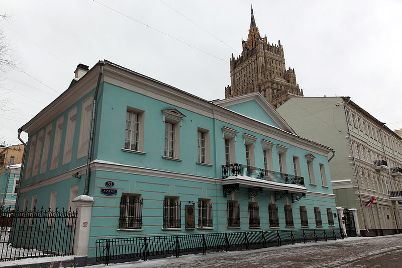
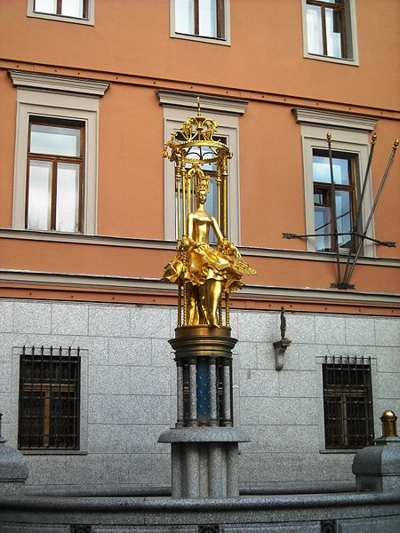
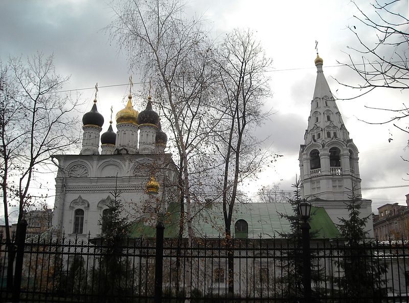
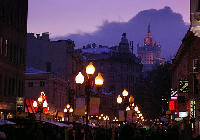
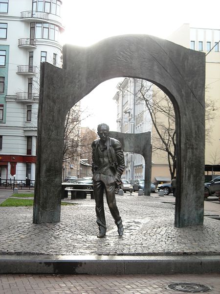
Arbat Street, mainly referred to in English as the Arbat, is a pedestrian street about one kilometer long in the historical centre of Moscow, Russia. The Arbat has existed since at least the 15th century, which makes it one of the oldest surviving streets of the Russian capital. It forms the heart of the Arbat District of Moscow. Originally the street formed part of an important trade-route and was home to many craftsmen. ()
Address
Центральный административный ок (Арбат)Moscow
ContactAdd
Social media
Add
Day trips
Arbat Street – popular in the area (distance from the attraction)
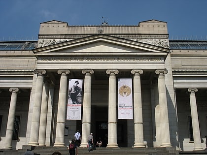
Nearby attractions include: Pushkin Museum, Monument to Leo Tolstoy on Prechistenka, Monument to Marina Tsvetaeva, Ministry of Foreign Affairs of Russia main building.
Frequently Asked Questions (FAQ)
Which popular attractions are close to Arbat Street?
Nearby attractions include Tsoi Wall, Moscow (3 min walk), New Arbat Avenue, Moscow (3 min walk), Boris Shchukin Theatre Institute, Moscow (4 min walk), Krivoarbatsky Lane, Moscow (4 min walk).
How to get to Arbat Street by public transport?
The nearest stations to Arbat Street:
Bus
Metro
Train
Bus
- Кинотеатр Октябрь • Lines: м2, м7, Н2 (6 min walk)
- Дом книги • Lines: м2, м7, Н2 (7 min walk)
Metro
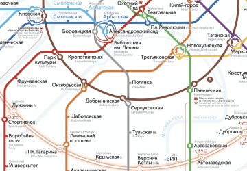
- Smolenskaya • Lines: 3 (11 min walk)
- Arbatskaya • Lines: 3 (12 min walk)
Train
- Moscow Kiyevsky (33 min walk)



 Metro
Metro