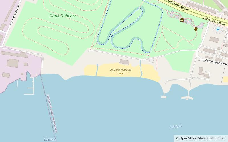
Lomonosovskij plaz, Cherepovets
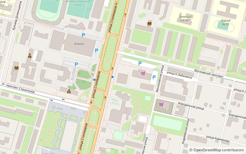
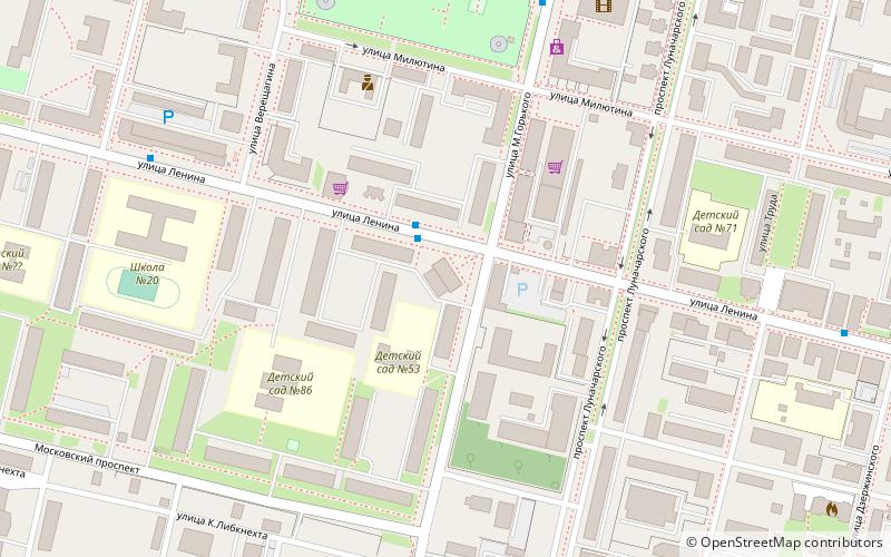
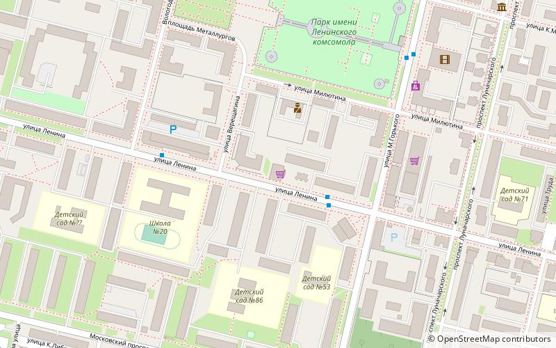
Map
Facts and practical information
Lomonosovskij plaz is a place located in Cherepovets (Vologda region) and belongs to the category of beach.
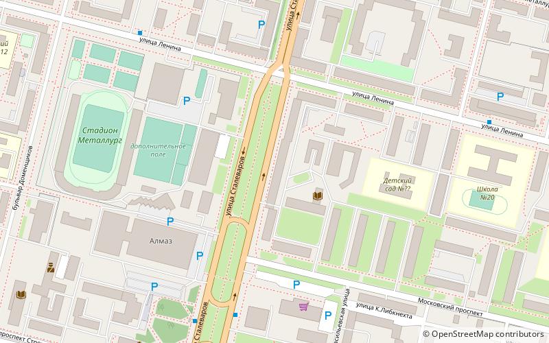
It is situated at an altitude of 318 feet, and its geographical coordinates are 59°6'57"N latitude and 37°53'19"E longitude.
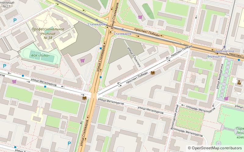
Planning a visit to this place, one can easily and conveniently get there by public transportation. Lomonosovskij plaz is a short distance from the following public transport stations: Сталеваров (tram, 35 min walk).
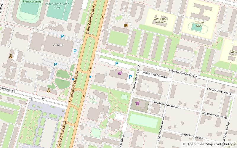
Among other places and attractions worth visiting in the area are: Sports-Concert Hall Almaz (sport venue, 20 min walk), Ubilejnyj (shopping centre, 21 min walk), Intersiti (shopping centre, 22 min walk).
Coordinates: 59°6'57"N, 37°53'19"E
Address
Cherepovets
ContactAdd
Social media
Add
Getting there by public transportation
Public transportation stops near this location
- Tram
 Tram
Tram
- Calculate routeСталеваров 35 min walk
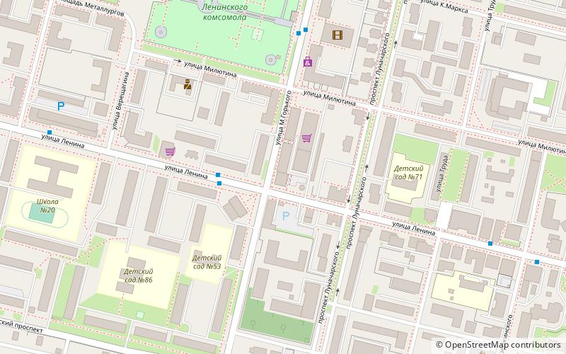
- Calculate routeВерещагина 38 min walk
Day trips
Frequently Asked Questions (FAQ)
How to get to Lomonosovskij plaz by public transport?
The nearest stations to Lomonosovskij plaz:
Tram
Tram
- Сталеваров • Lines: 2 (35 min walk)
- Верещагина • Lines: 2 (38 min walk)