City of Capitals, Moscow
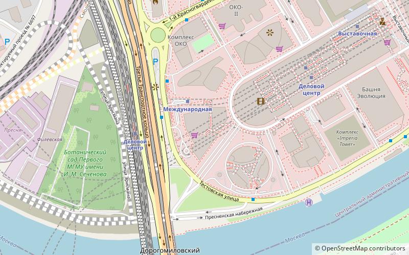
Map
Gallery
Facts and practical information
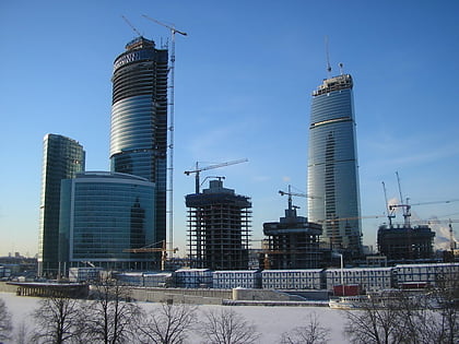
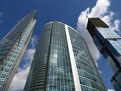
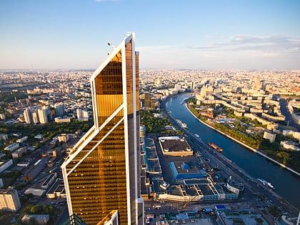
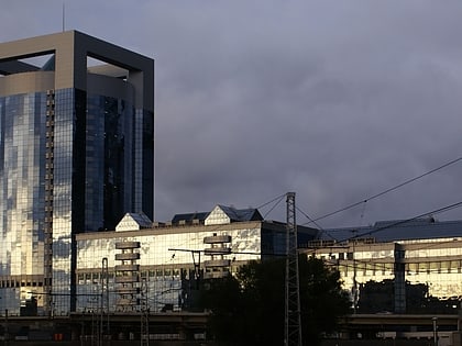
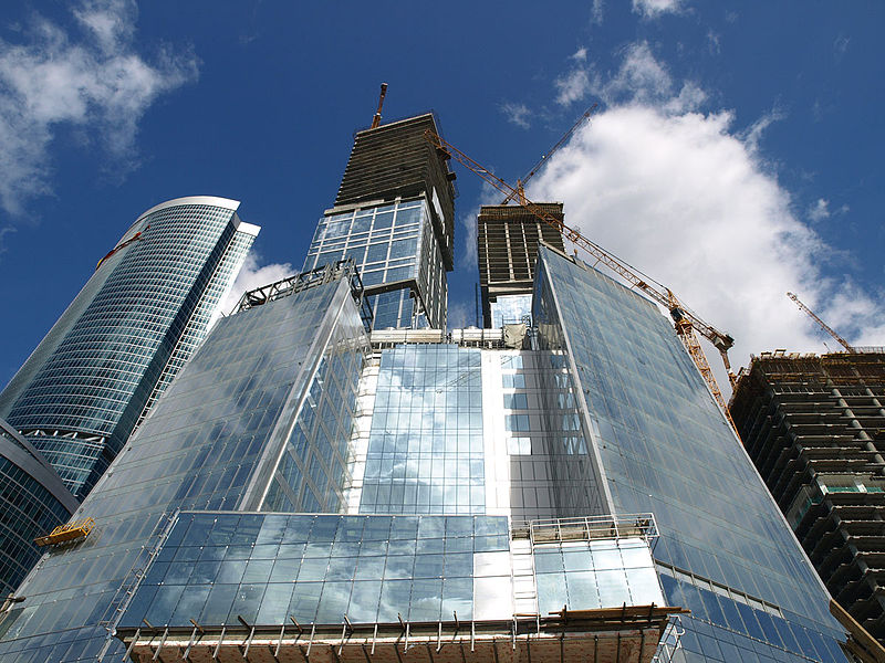
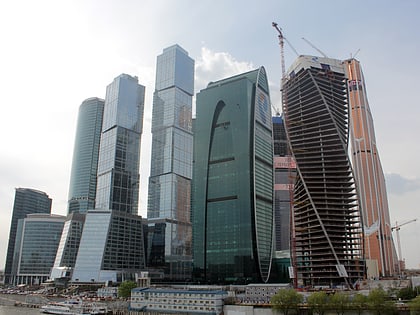
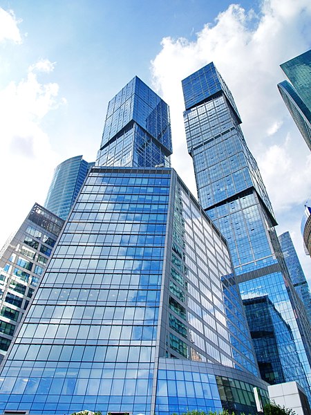
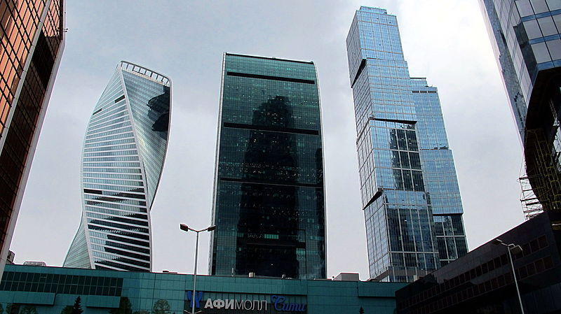
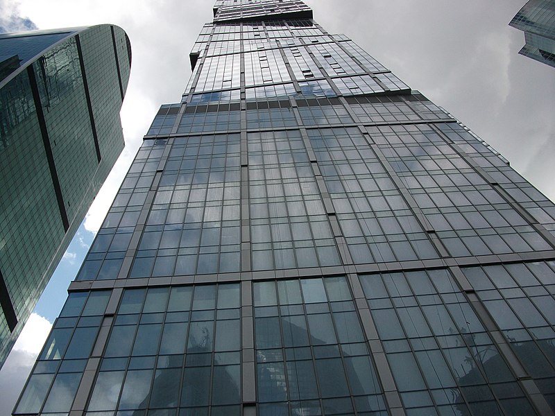
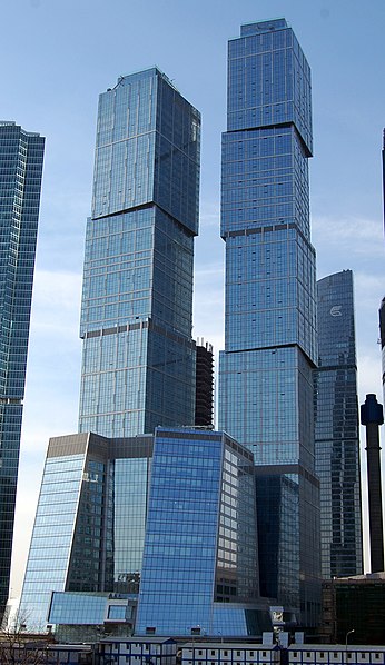
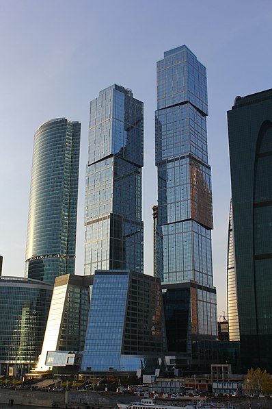
The City of Capitals is a mixed-use complex composed of two skyscrapers and an office building located on plot 9 in the Moscow International Business Center in Moscow, Russia with a total area of 288,680 square metres. The two skyscrapers are named after the two historical capitals of Russia: Moscow and Saint Petersburg. Construction of the complex began in 2005, with the office building completed in 2008 and the two skyscrapers completed in 2009. ()
Local name: Город столиц Completed: 2009 (17 years ago)Area: 71.33 acres (0.1115 mi²)Architectural style: DeconstructivismCoordinates: 55°44'50"N, 37°32'20"E
Address
МФК «Город столиц»Центральный административный ок (Пресненский)Moscow
Contact
+7 495 540-50-50
Social media
Add
Day trips
City of Capitals – popular in the area (distance from the attraction)
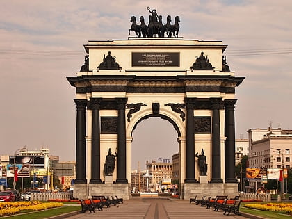
Nearby attractions include: Triumphal Arch of Moscow, Eurasia Building, Federation Tower, Sechenov Botanical Garden.
Frequently Asked Questions (FAQ)
Which popular attractions are close to City of Capitals?
Nearby attractions include Imperia Tower, Moscow (2 min walk), Naberezhnaya Tower, Moscow (3 min walk), Presnensky District, Moscow (3 min walk), Federation Tower, Moscow (3 min walk).
How to get to City of Capitals by public transport?
The nearest stations to City of Capitals:
Metro
Bus
Train
Metro
- Деловой Центр • Lines: 11А (4 min walk)
- Delovoy Center • Lines: 8А (4 min walk)
Bus
- Станция Деловой центр • Lines: с344 (6 min walk)
- Улица Дунаевского • Lines: 157, 239, 297, 454, 622, м2, м7, Н2, т34, т39к (9 min walk)
Train
- Testovskaya (15 min walk)
- Fili (25 min walk)


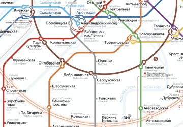 Metro
Metro