Dalnij Taganaj, Taganay
Map

Gallery

Facts and practical information
Far Taganai - the mountain, the northernmost point and the most extensive peak of the Bolshoi Taganai range, part of the South Ural Mountains. The height is 1112 meters above sea level. Located 25 km from the city Zlatoust Chelyabinsk region.
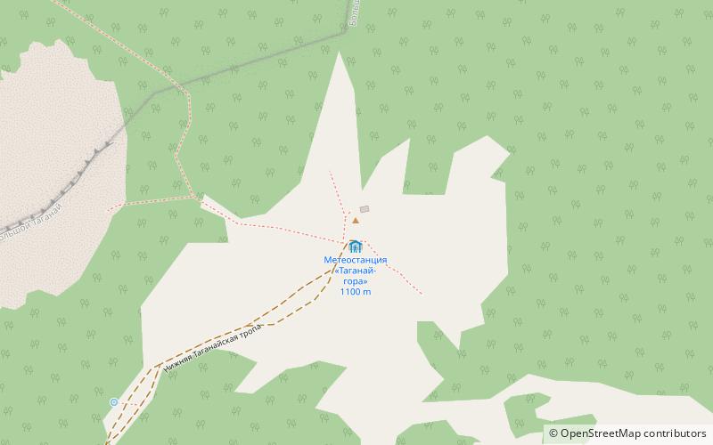
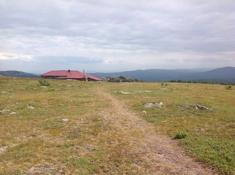
In the period from 1932 to 2005 at the top of the mountain functioned the weather station "Taganai-mountain," now in the building which houses a tourist shelter.
Coordinates: 55°22'9"N, 59°54'30"E
Address
Taganay
ContactAdd
Social media
Add
Day trips
Dalnij Taganaj – popular in the area (distance from the attraction)
Nearby attractions include: Otkliknoy greben', Kruglitsa, Nacionalnyj park Taganaj.


