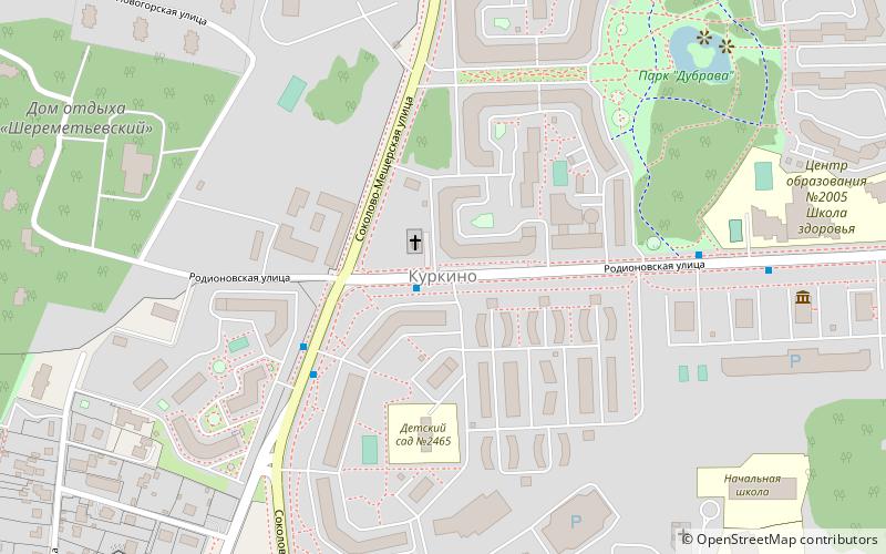
Kurkino District, Moscow

Gallery (1)
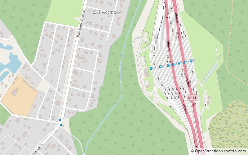
Map
Map
Facts and practical information
Local name: Куркино Established: 1992 (34 years ago)Area: 3.05 mi²Coordinates: 55°53'37"N, 37°23'19"E
Address
Северо-Западный административны (Куркино)Moscow
ContactAdd
Social media
Add
Getting there by public transportation
Public transportation stops near this location
- Bus
 Bus
Bus
- Calculate routeРодионовская улица 1 min walk
- Calculate route6-й микрорайон Куркина 3 min walk
- Calculate routeСоколово-Мещерская улица 7 min walk
Maps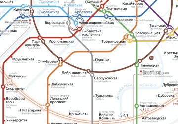 Metro
Metro
MetroDay trips


Frequently Asked Questions (FAQ)
How to get to Kurkino District by public transport?
The nearest stations to Kurkino District:
Bus
Bus
- Родионовская улица • Lines: 268, 268К (1 min walk)
- 6-й микрорайон Куркина • Lines: 212, 268, 268К (3 min walk)