Museum of Local History, Zheleznovodsk
Map
Facts and practical information
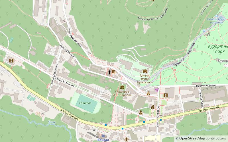
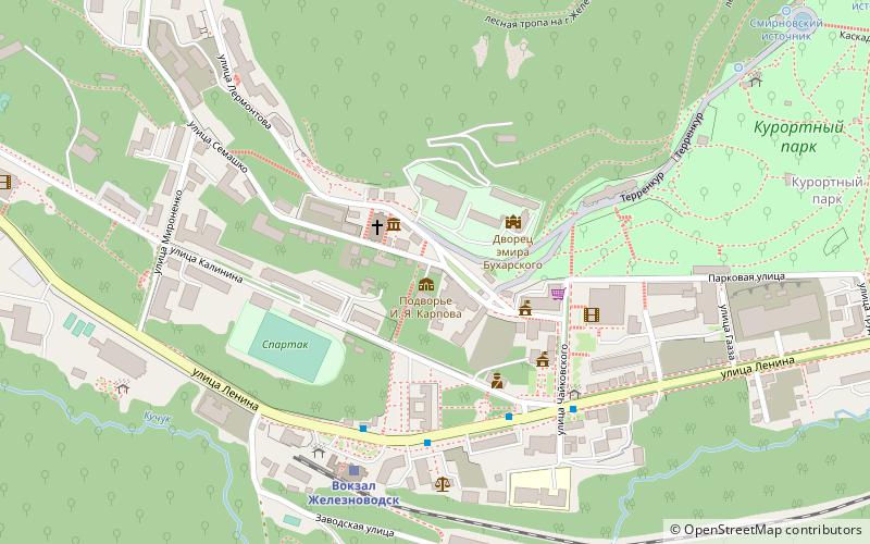
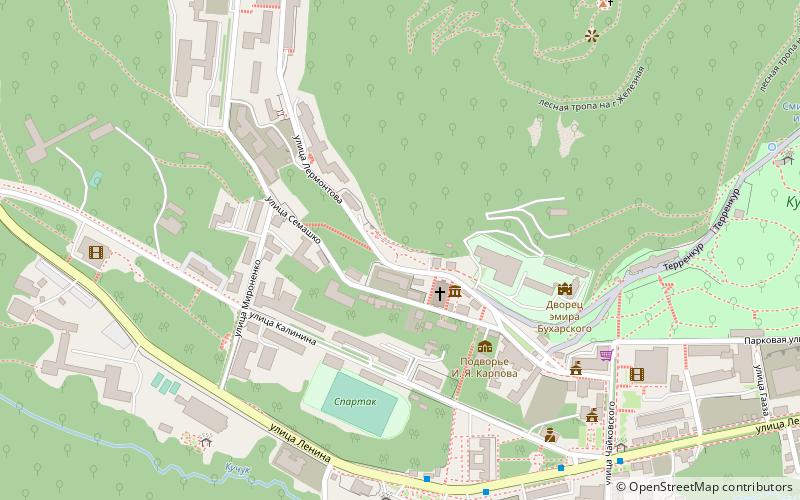
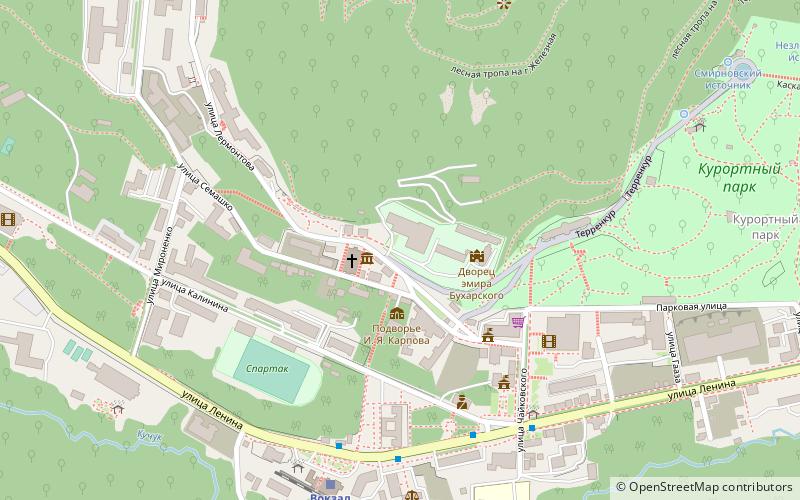
Museum of Local History (address: 3 улица Лермонтова) is a place located in Zheleznovodsk (Stavropol territory) and belongs to the category of museum.
It is situated at an altitude of 2077 feet, and its geographical coordinates are 44°8'5"N latitude and 43°1'38"E longitude.
Among other places and attractions worth visiting in the area are: Bronzovyj otdyhausij s flagoj (memorial, 1 min walk), Podvore Karpova (museum, 2 min walk), M.U. Lermontov (memorial, 2 min walk).
Coordinates: 44°8'5"N, 43°1'38"E
Address
3 улица ЛермонтоваZheleznovodsk
ContactAdd
Social media
Add
Day trips
Frequently Asked Questions (FAQ)
Which popular attractions are close to Museum of Local History?
Nearby attractions include Bronzovyj otdyhausij s flagoj, Zheleznovodsk (1 min walk), Podvore Karpova, Zheleznovodsk (2 min walk), M.U. Lermontov, Zheleznovodsk (2 min walk).